Our Services
- Home
- Services
PLG provides professional geospatial services using advanced photogrammetry, LiDAR and laser scanning technologies to support mapping, infrastructure development, and geospatial data analysis.
Service 1
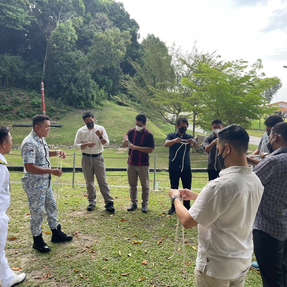
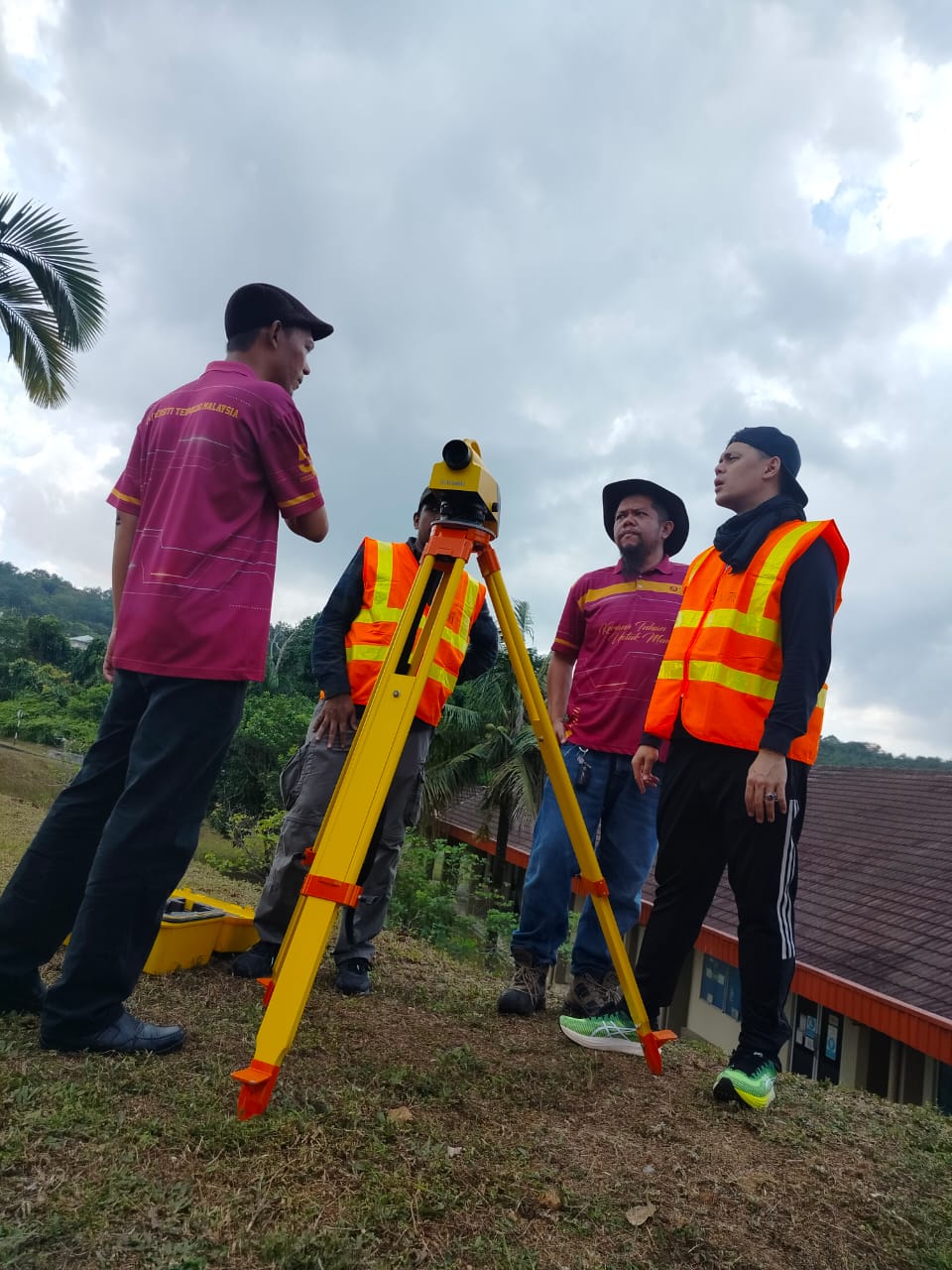
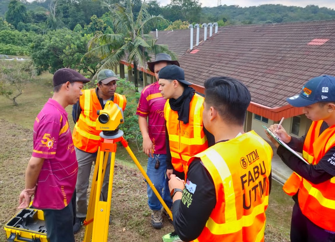
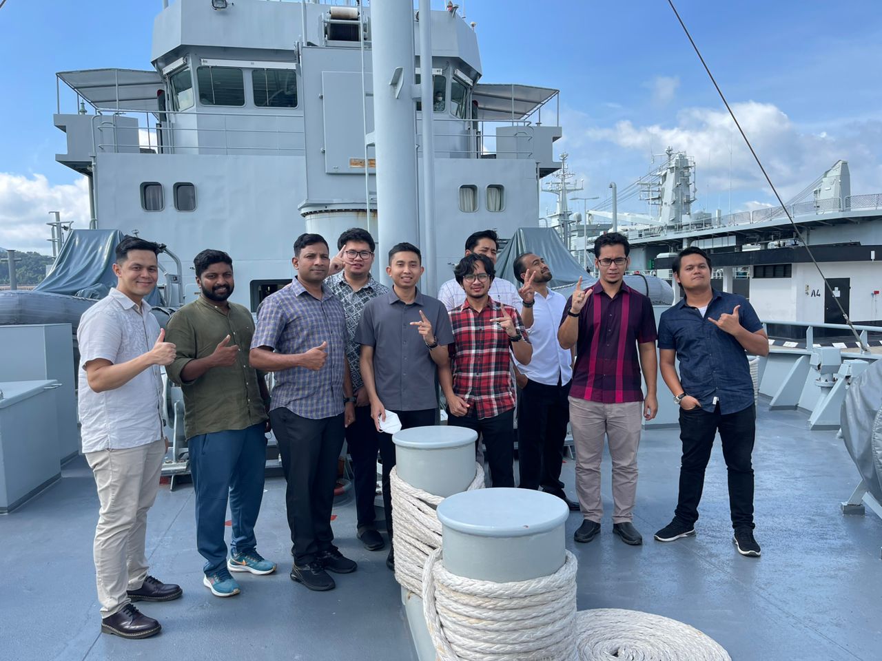
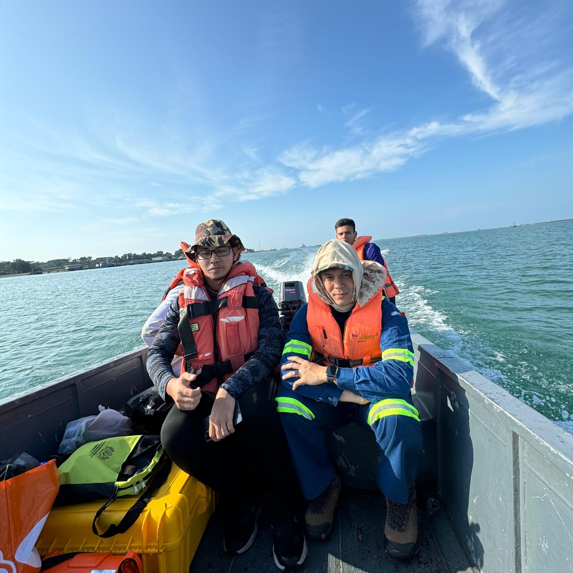
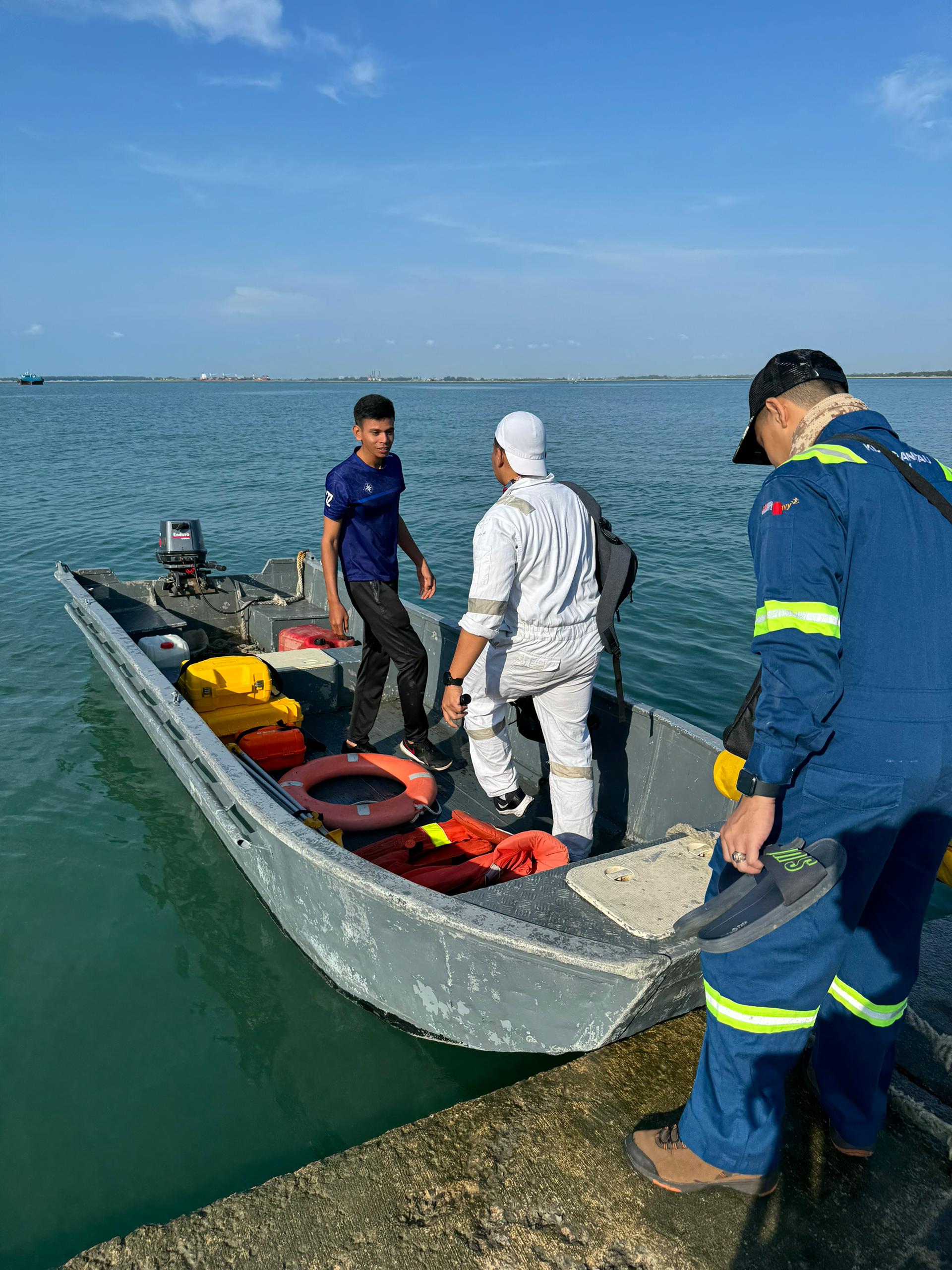
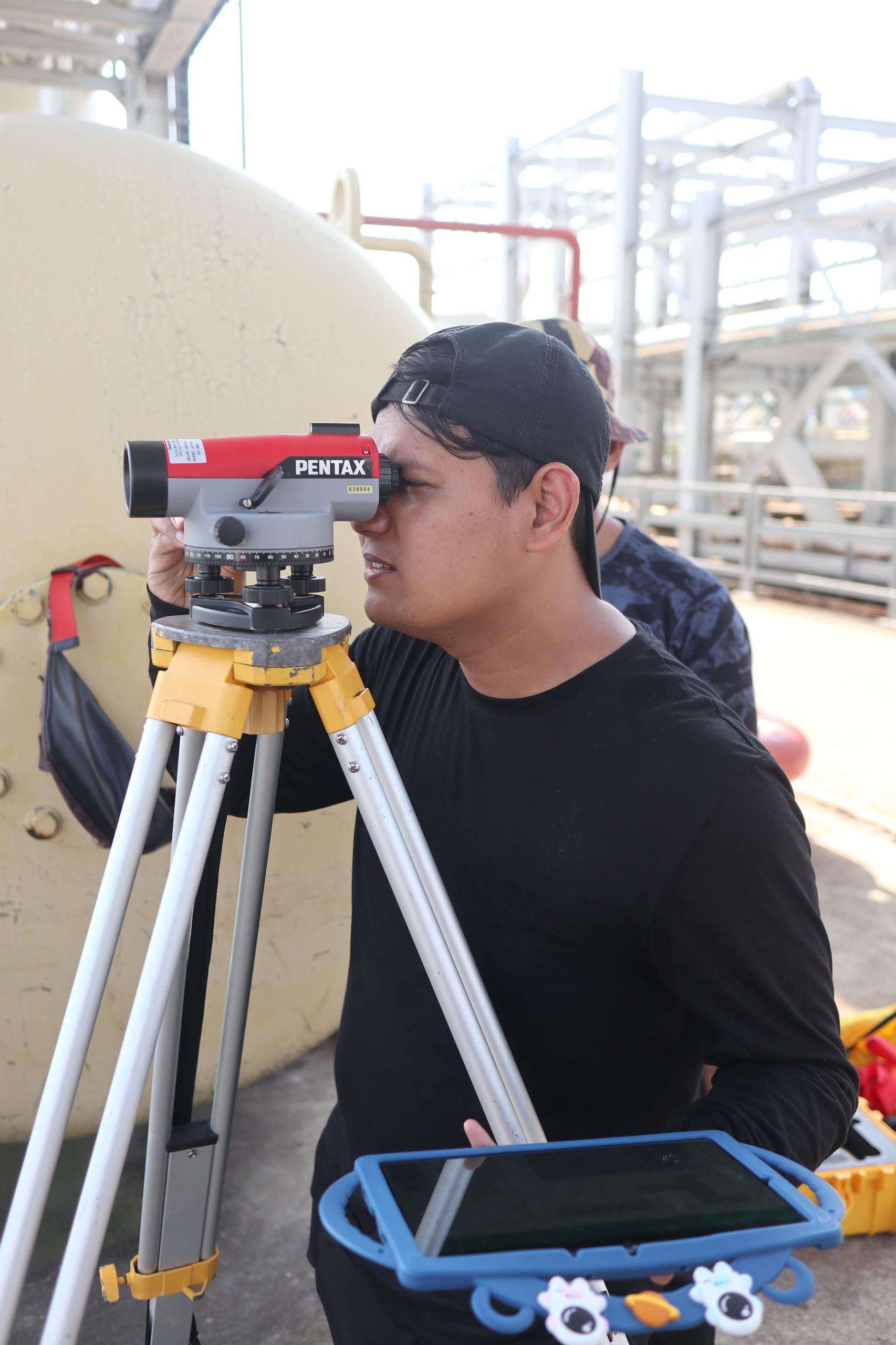
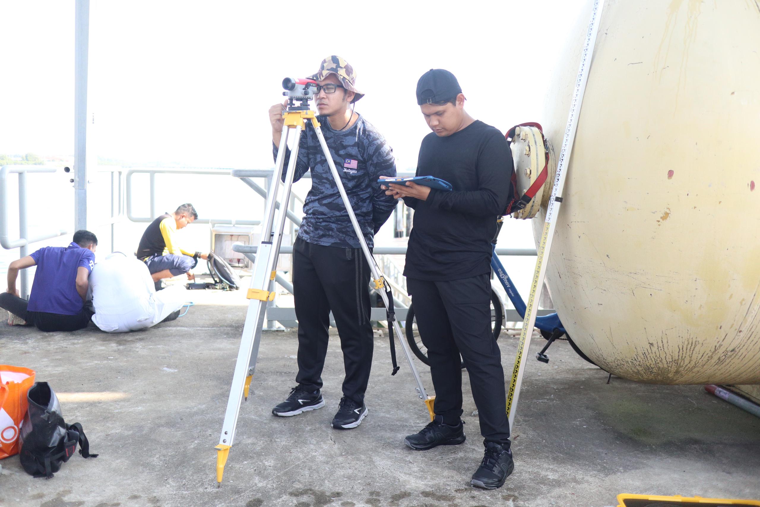
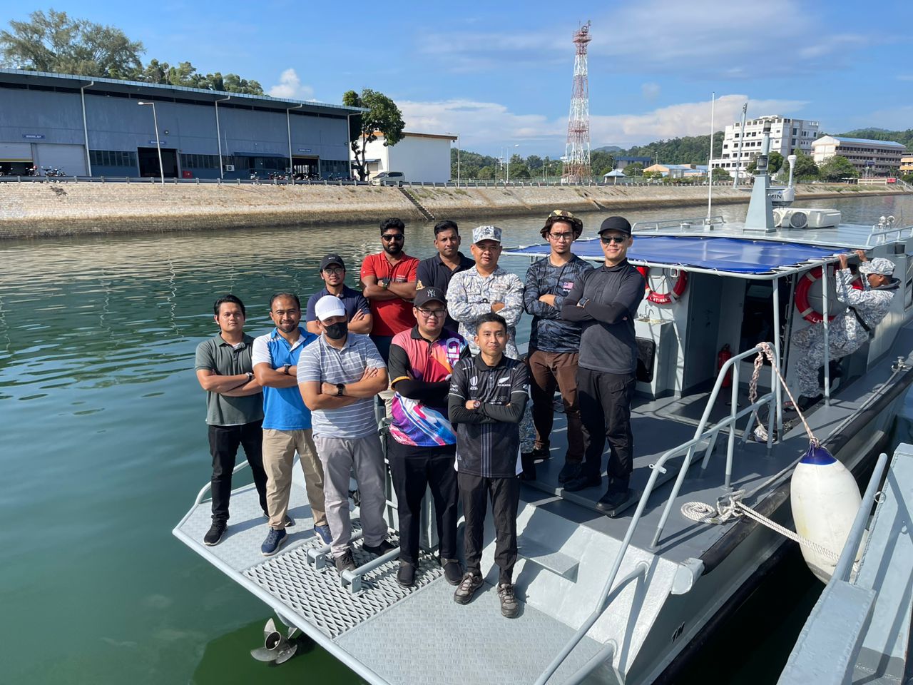
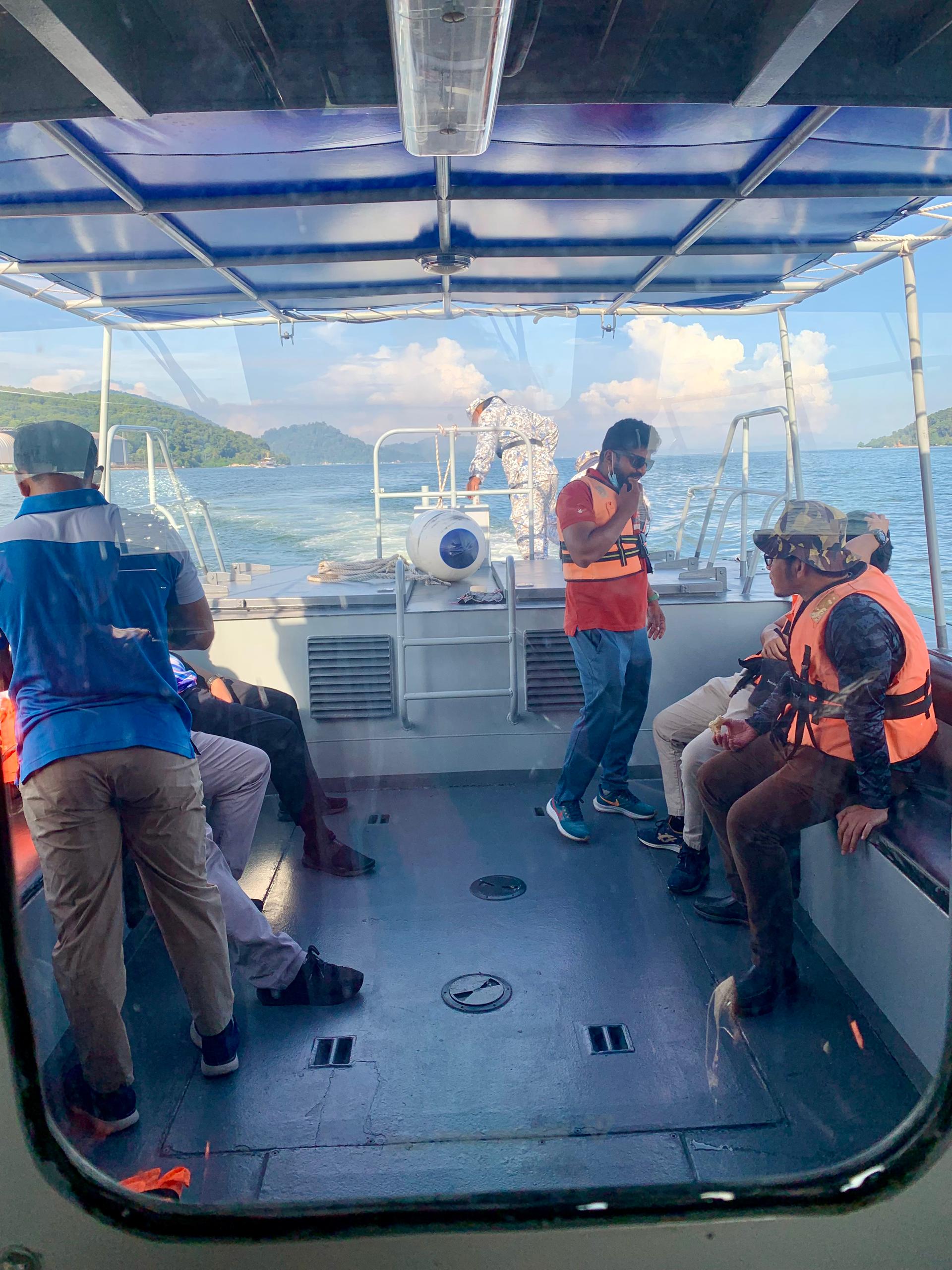
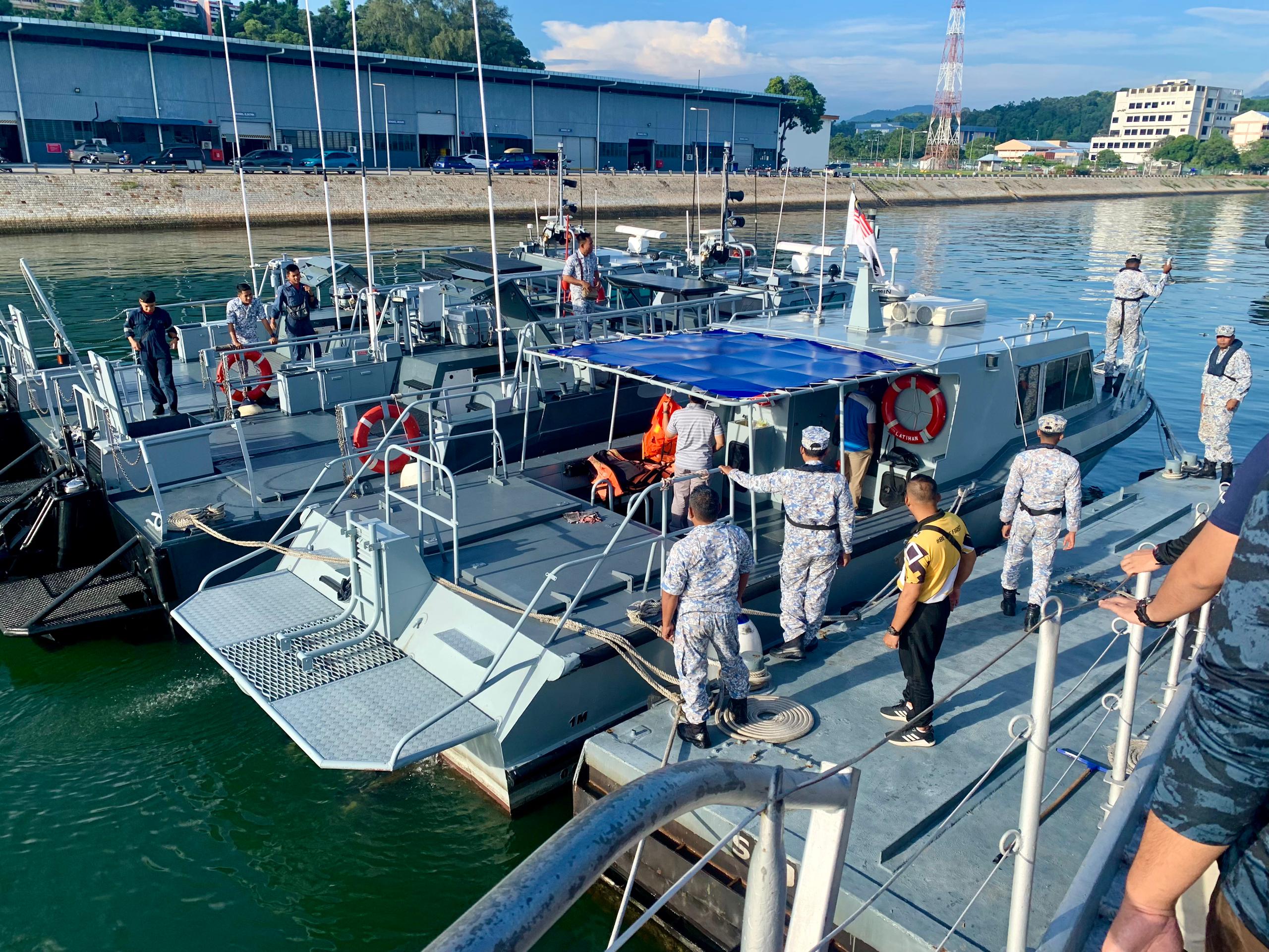
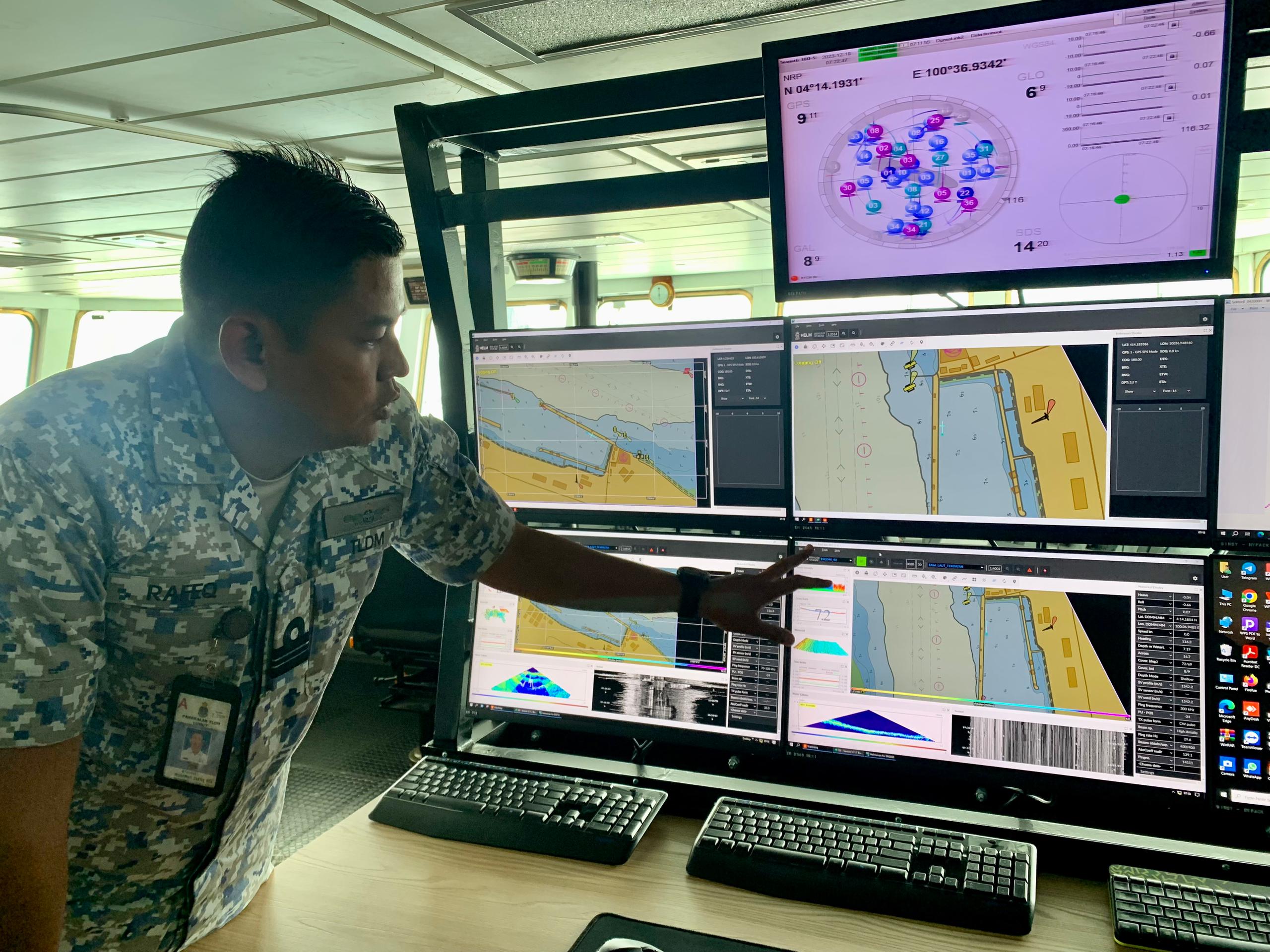
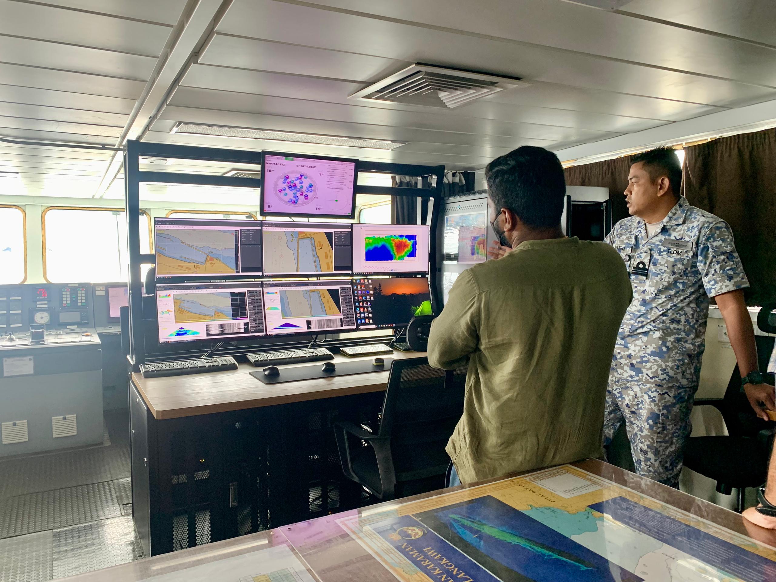
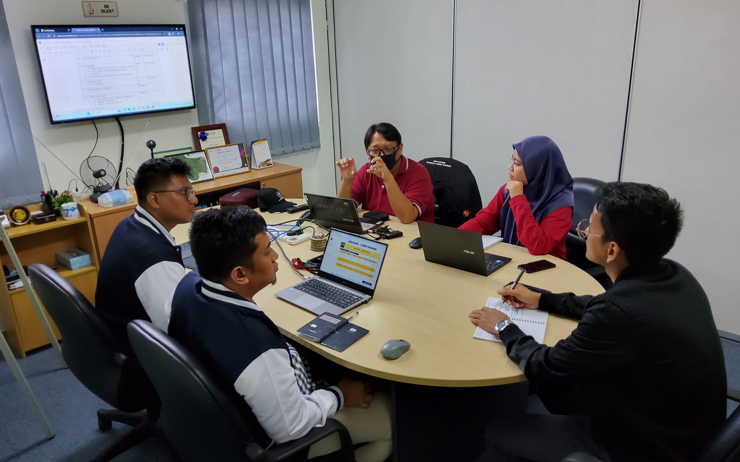
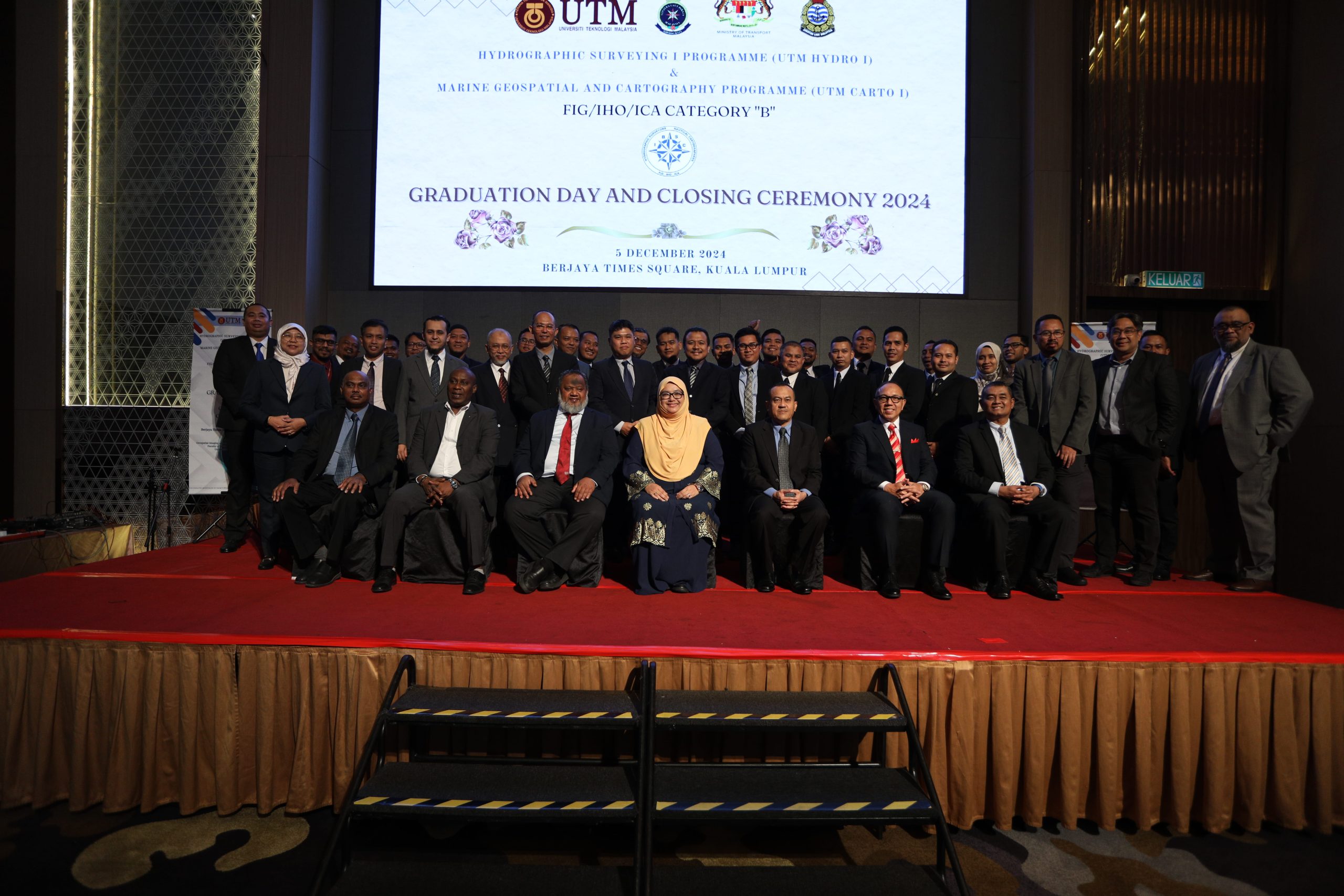
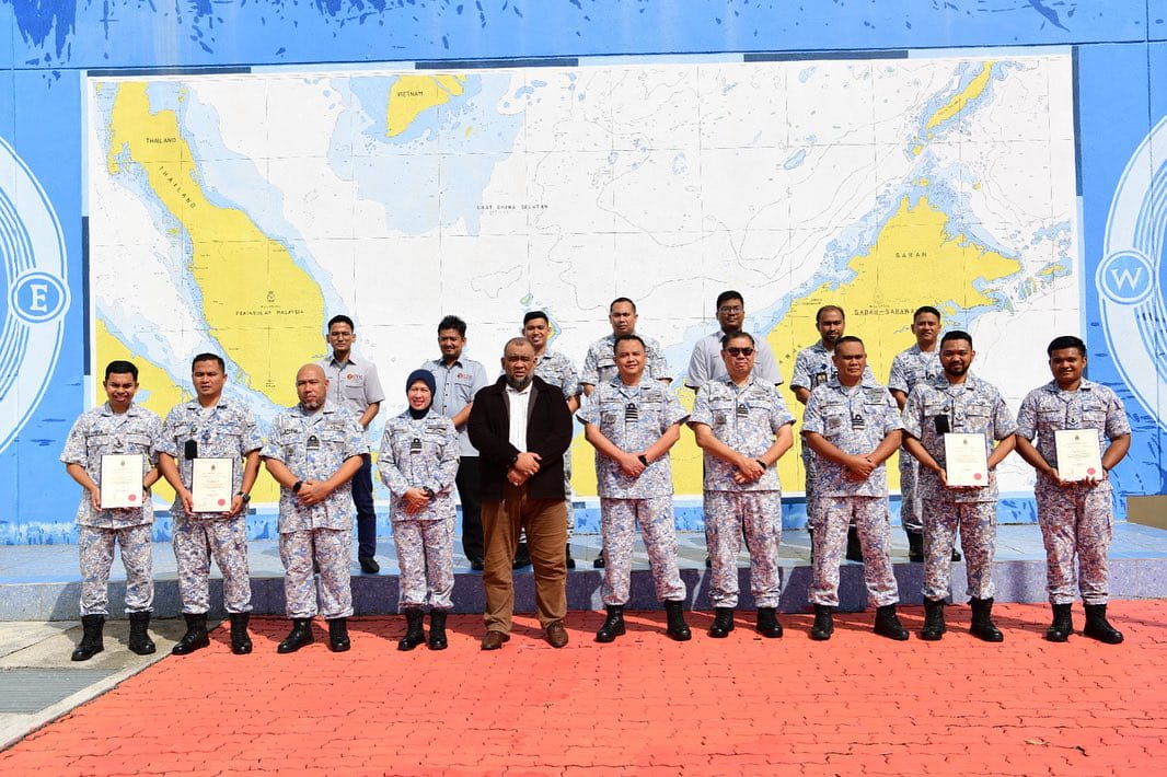
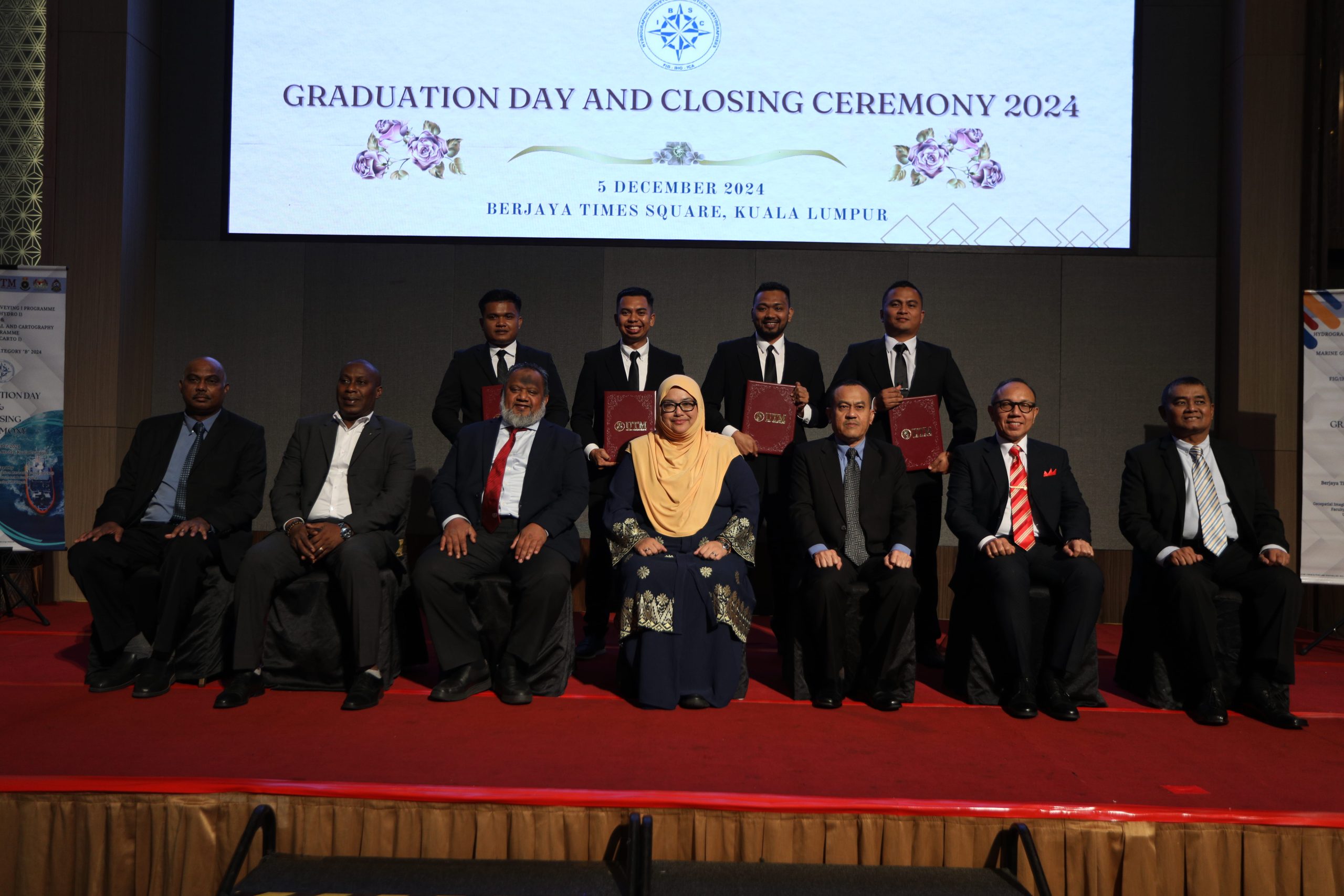
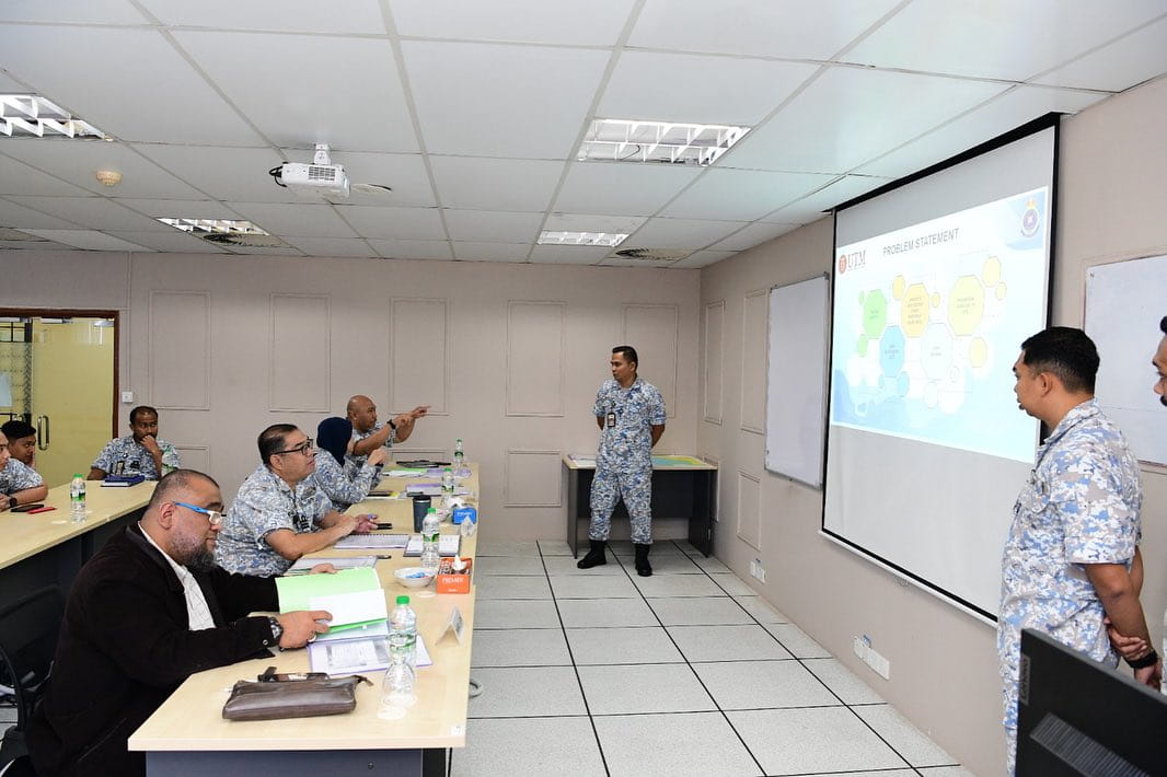
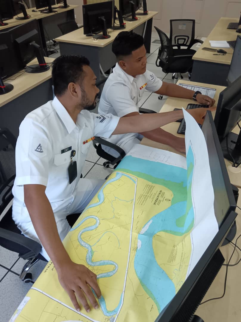
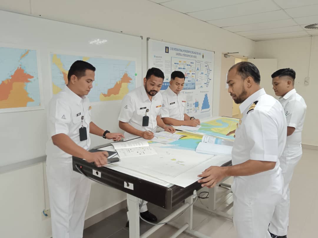
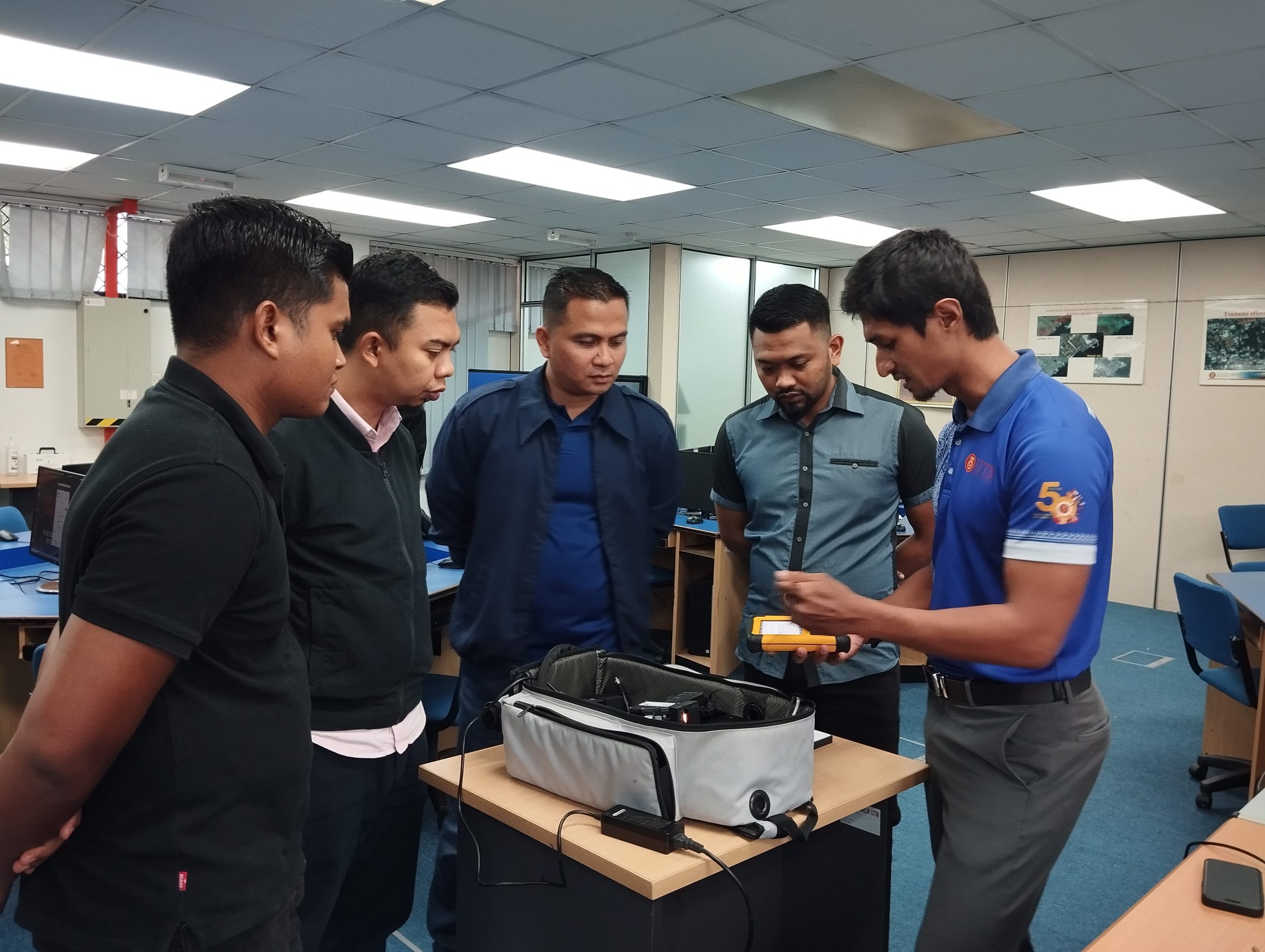
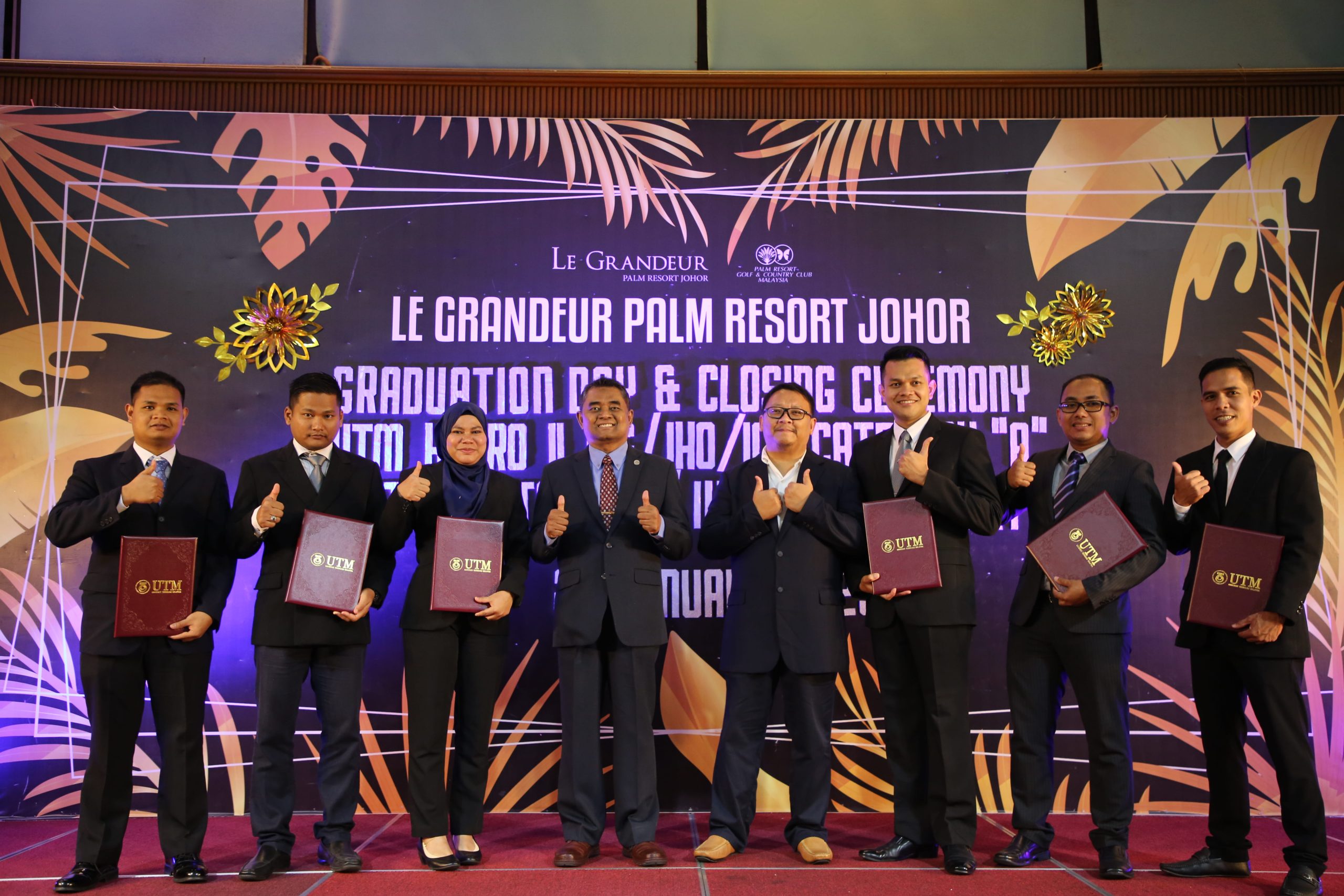
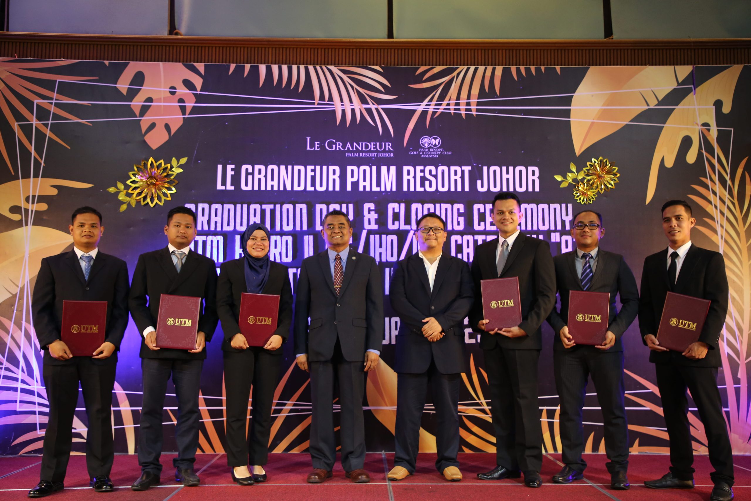
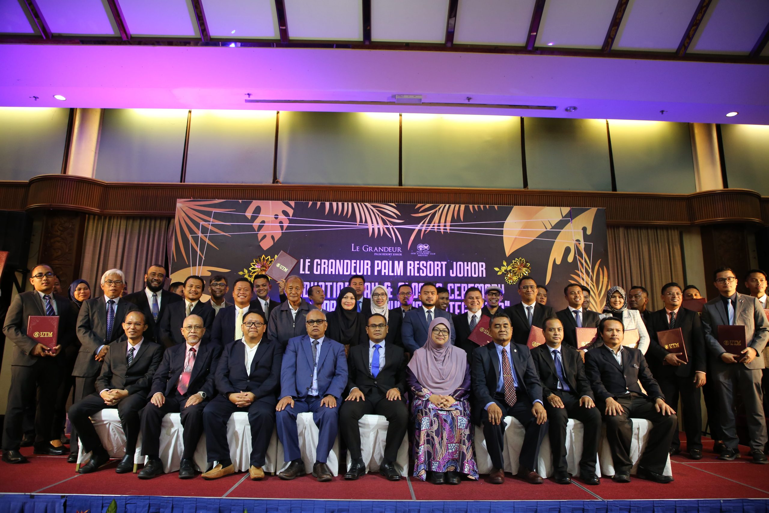
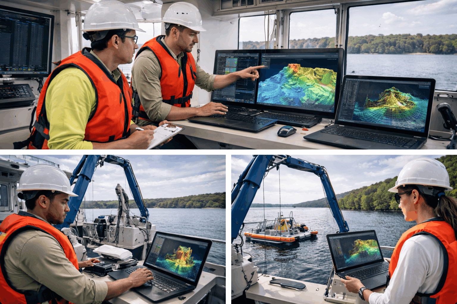
Hydrographic Surveying Programme (Category A & B)
This programme focuses on advanced hydrographic surveying techniques used for seabed mapping, marine data acquisition, and spatial analysis.
Key Capabilities
Hydrographic survey methods
Marine spatial data acquisition
Professional surveying practices
Industry Value
Training aligned with professional hydrographic surveying standards.
Recognised by:
Service 2
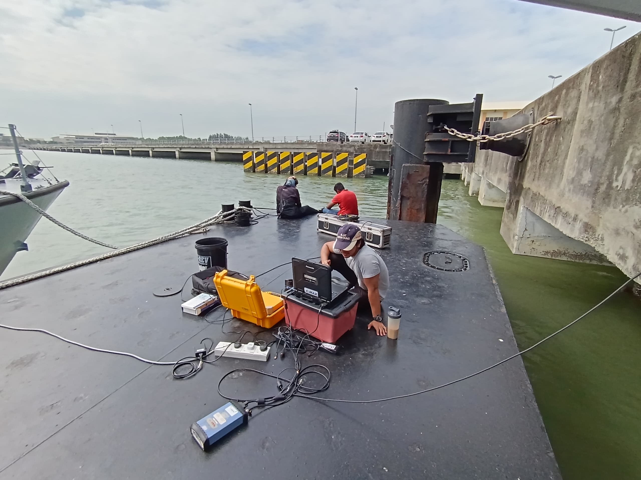
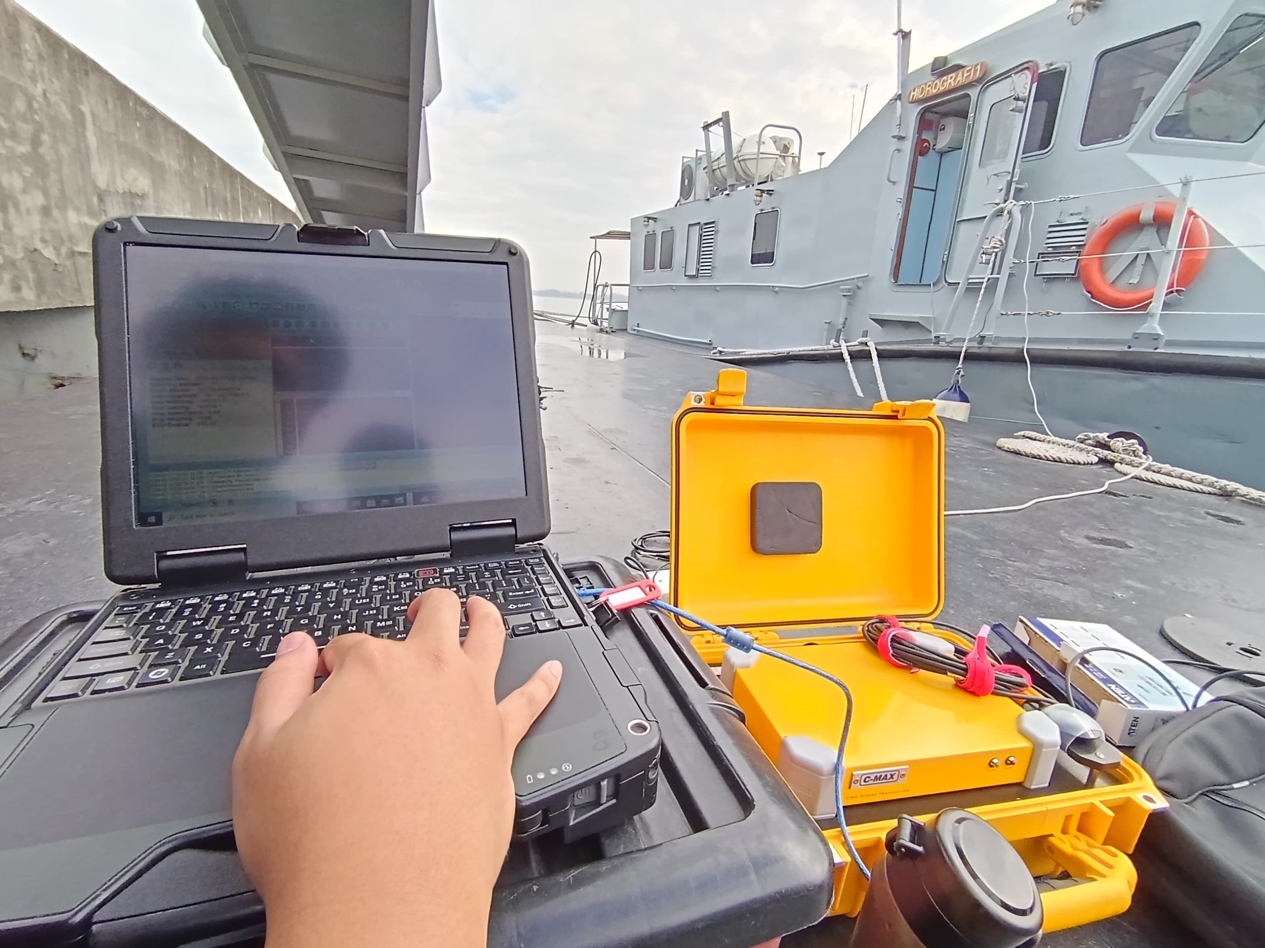
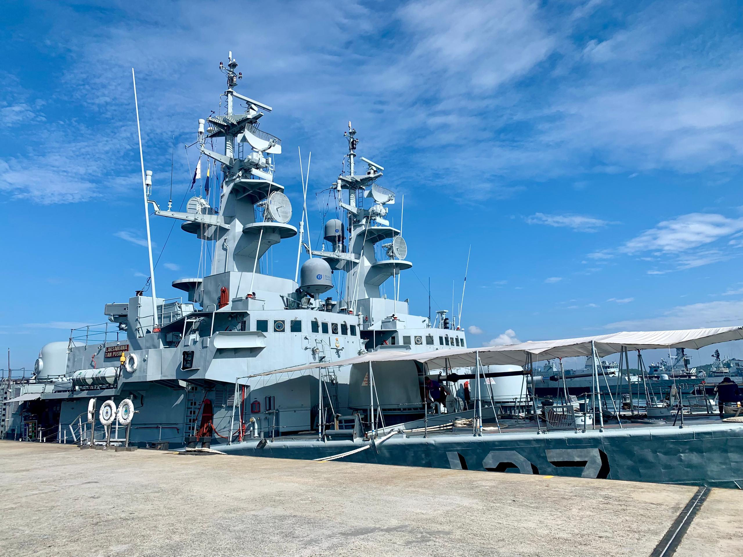
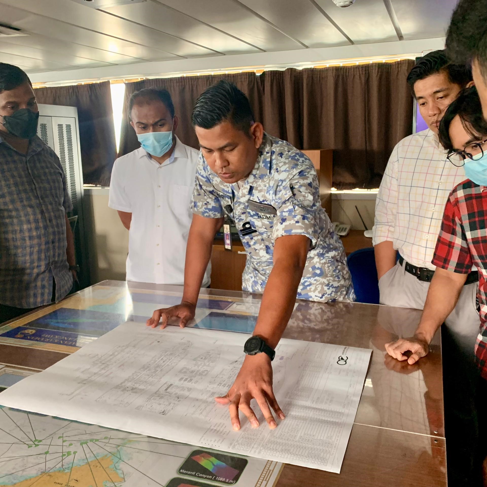
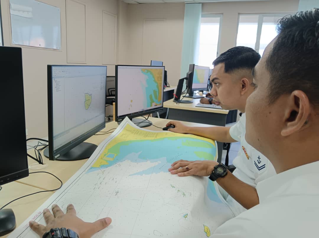
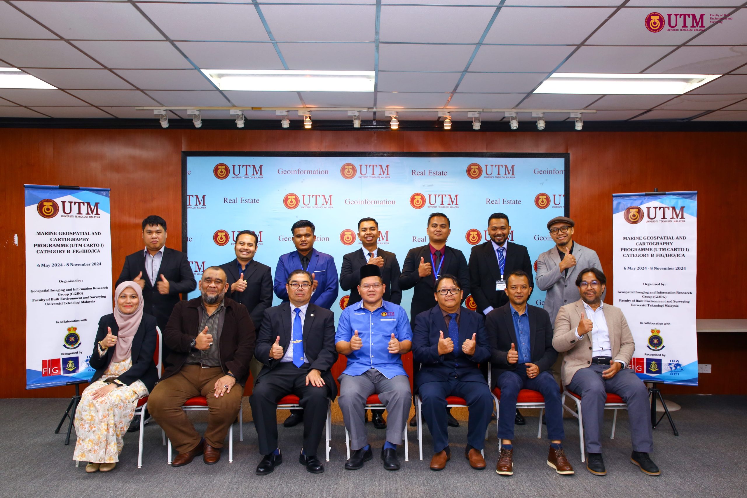
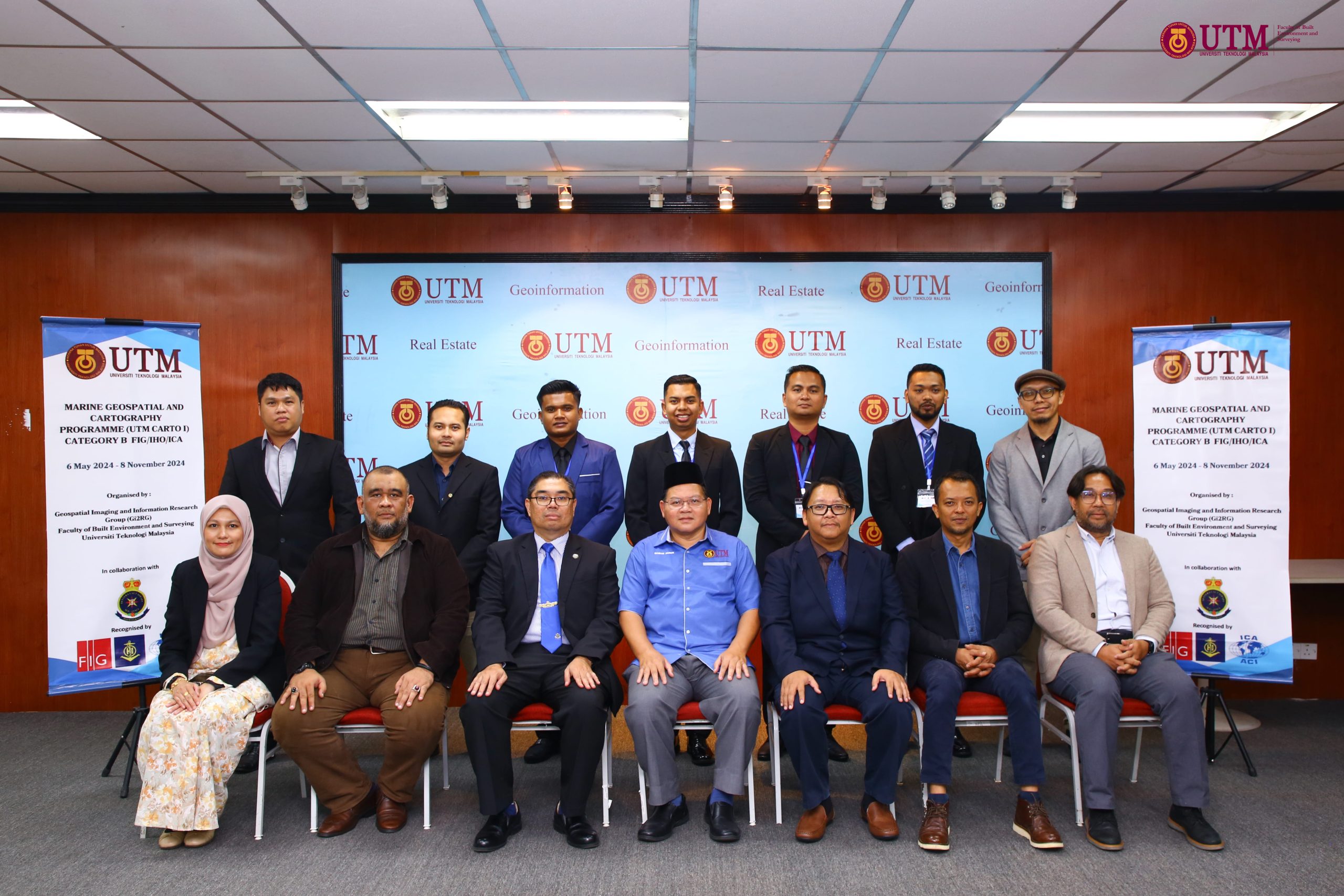
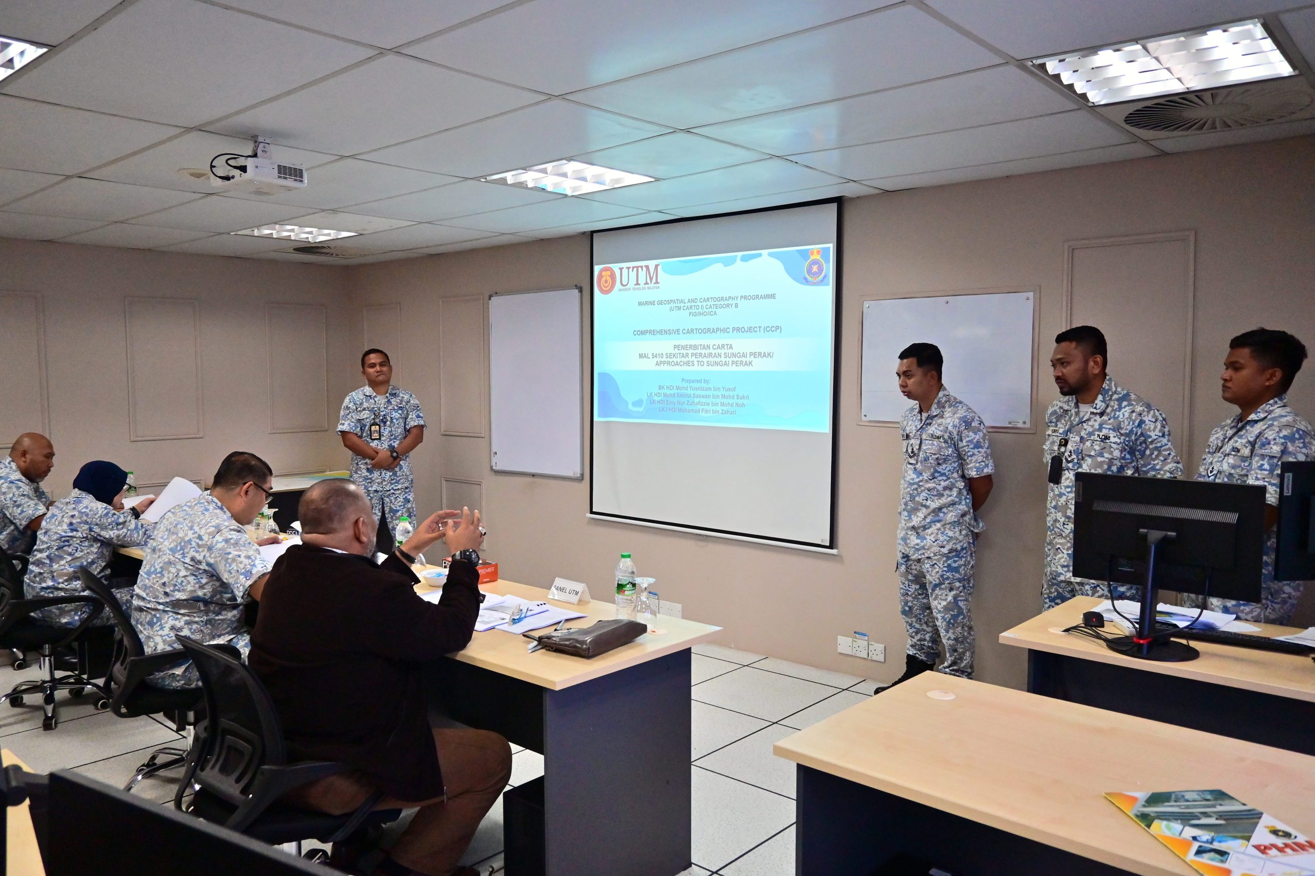
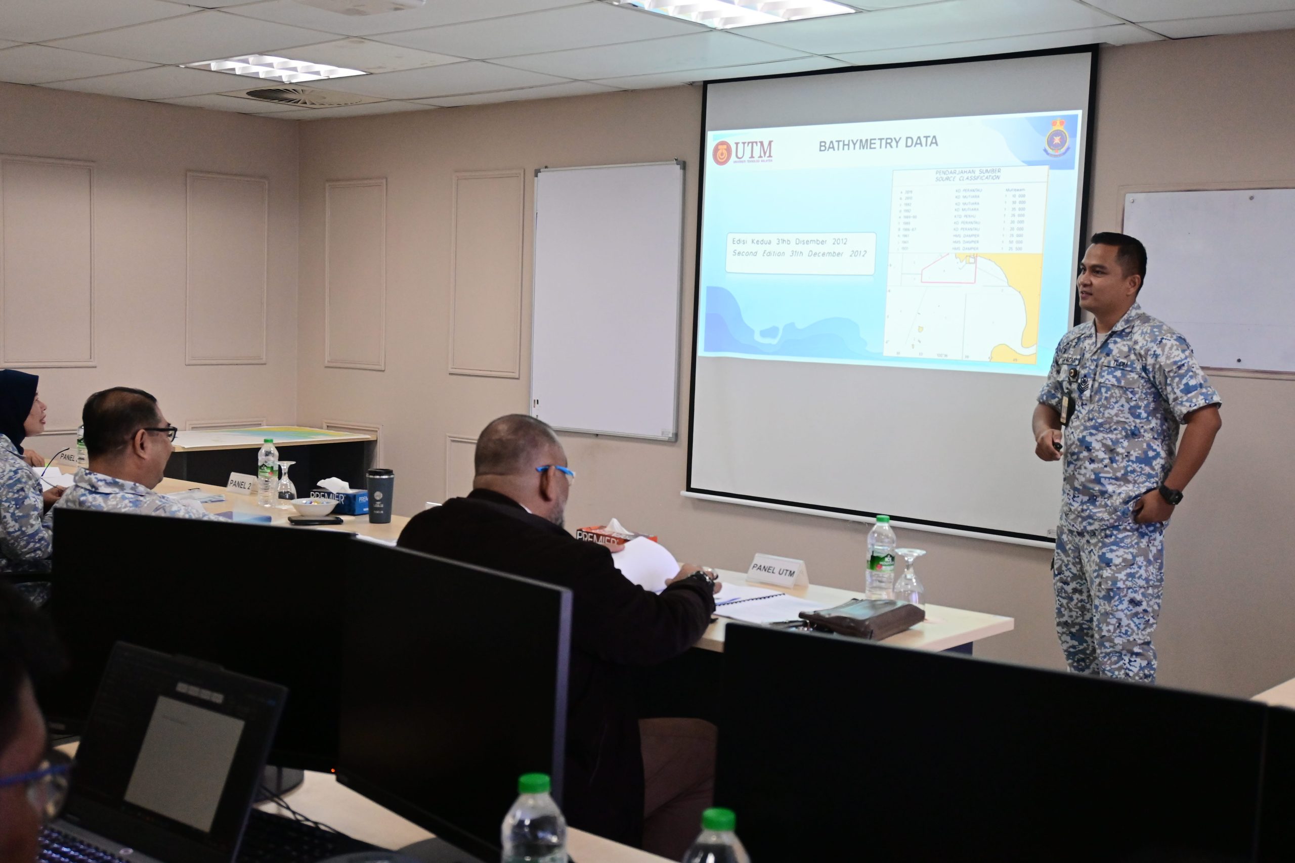
Marine Geospatial & Cartography Programme (Category B)
This programme provides specialised training in marine geospatial mapping and cartographic techniques for professionals working in marine surveying and mapping.
Key Capabilities
Marine spatial data management
Cartography and mapping techniques
Professional training modules
Programme Focus
Developing expertise in marine mapping and geospatial data interpretation.
Recognised by:
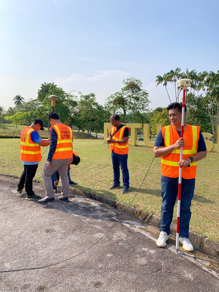
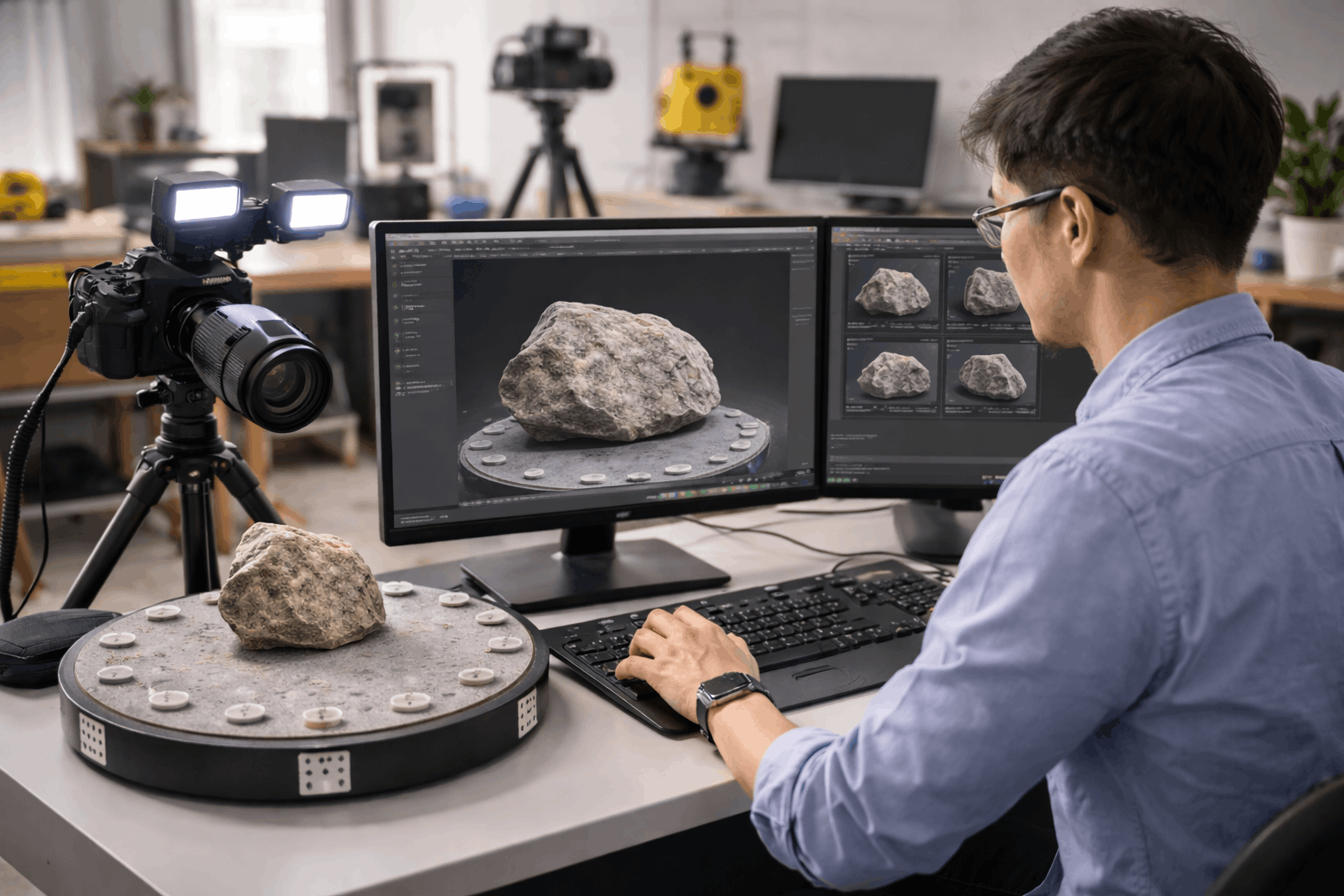
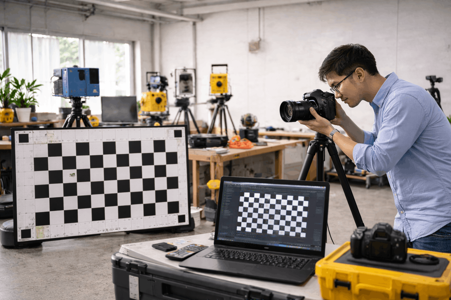
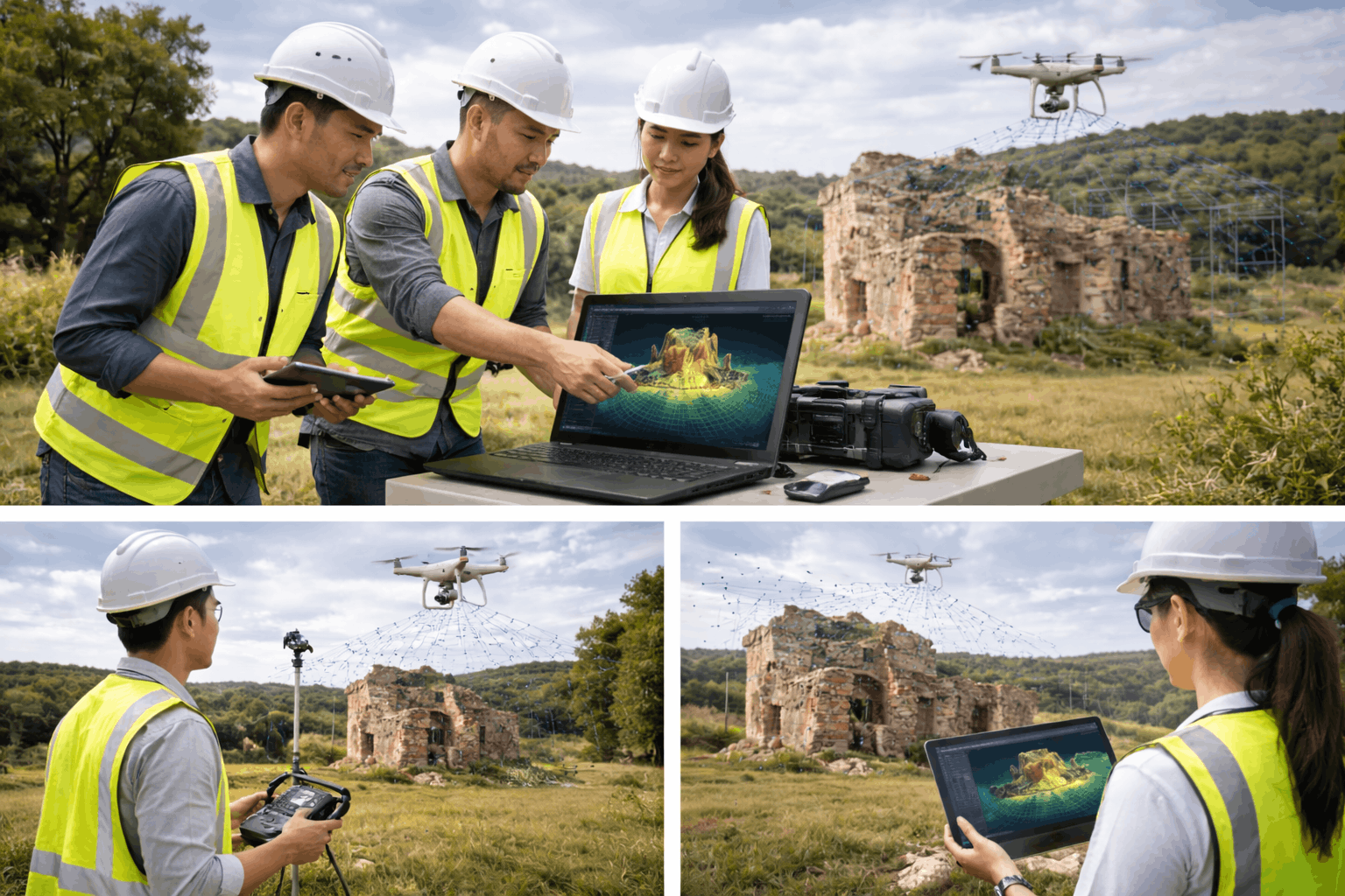
Service 3
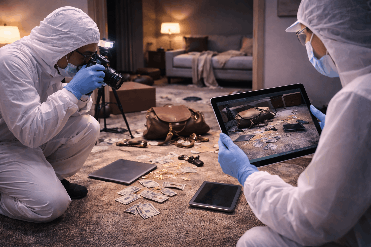
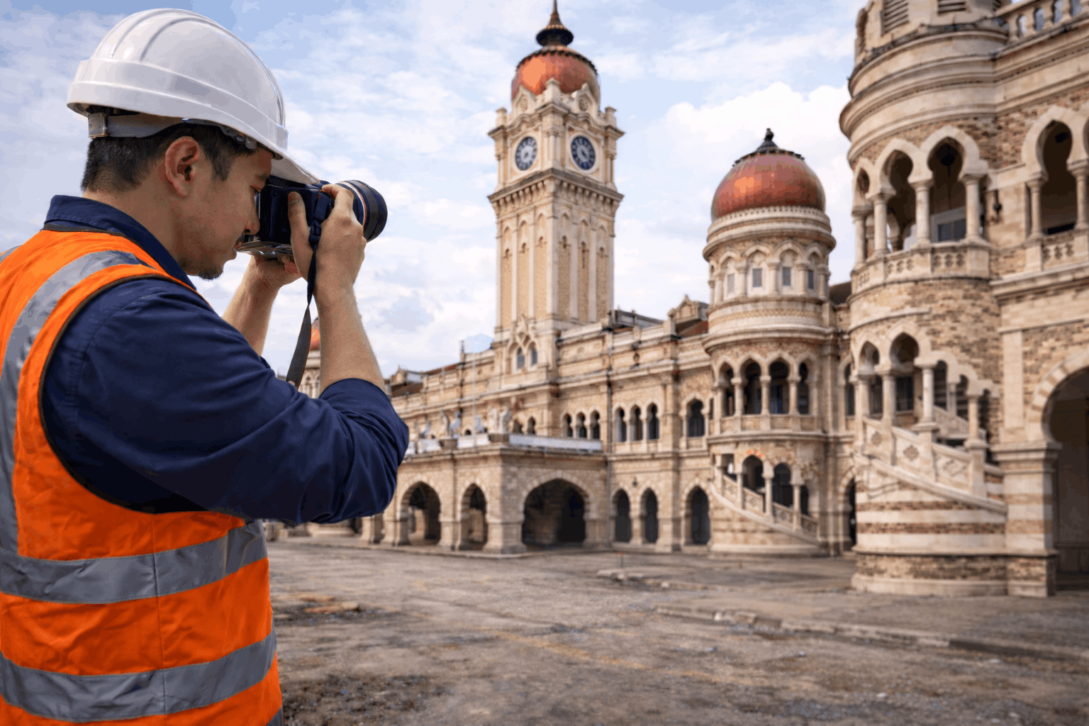
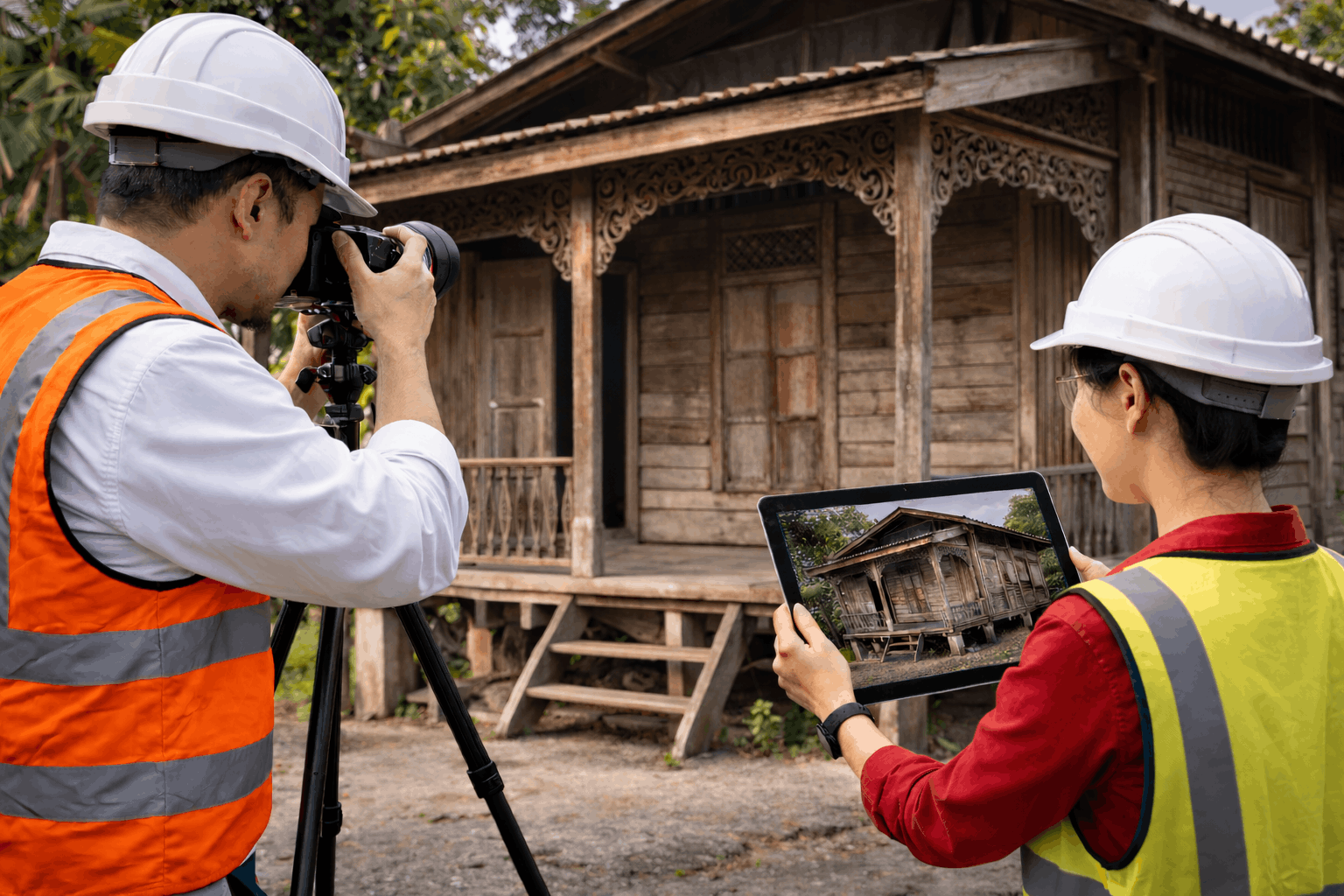
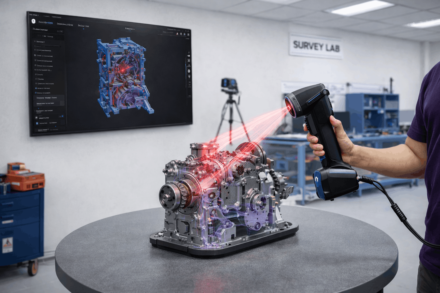
Close Range Photogrammetry
Close range photogrammetry is a technique used to capture high-resolution images of objects or structures from short distances and convert them into precise 3D models and measurements.
Key Capabilities
High-accuracy 3D modelling of structures and objects
Detailed documentation for heritage, engineering, and inspection
Accurate measurements without physical contact
Best For
Detailed structural documentation and high-precision object modelling.
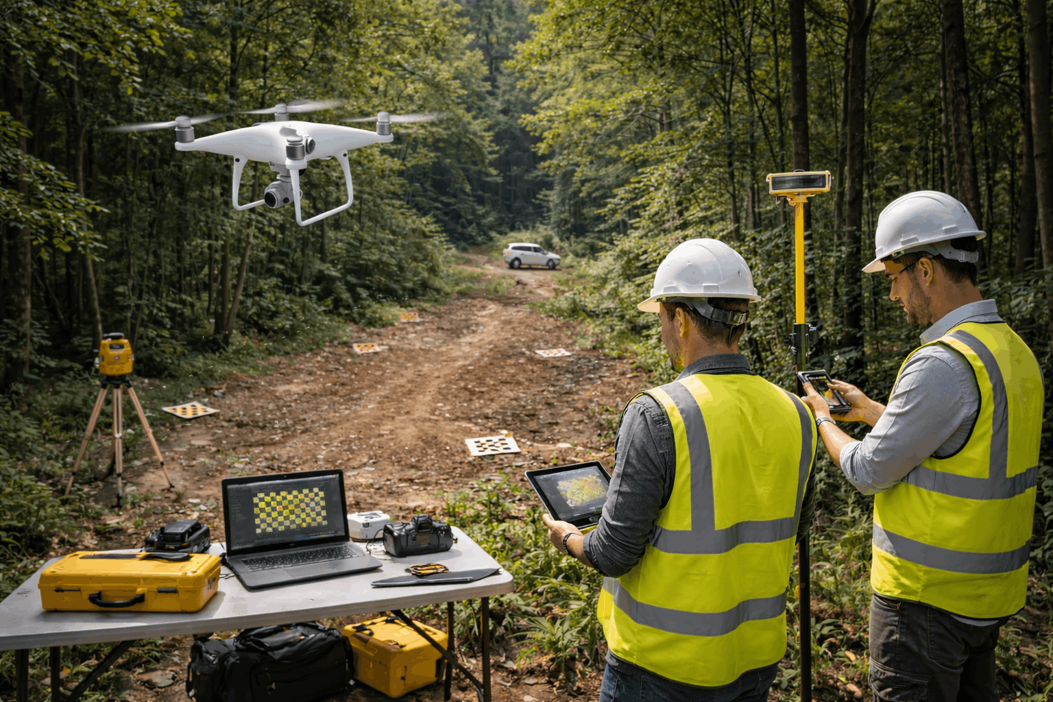
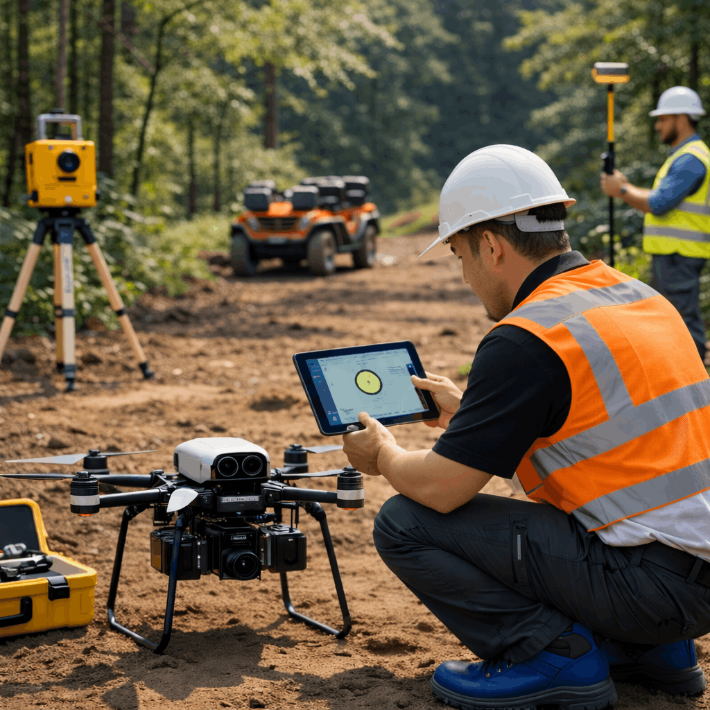
Service 4
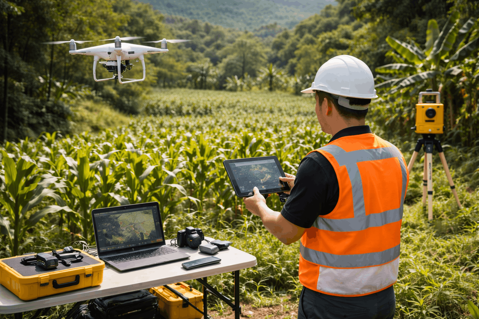
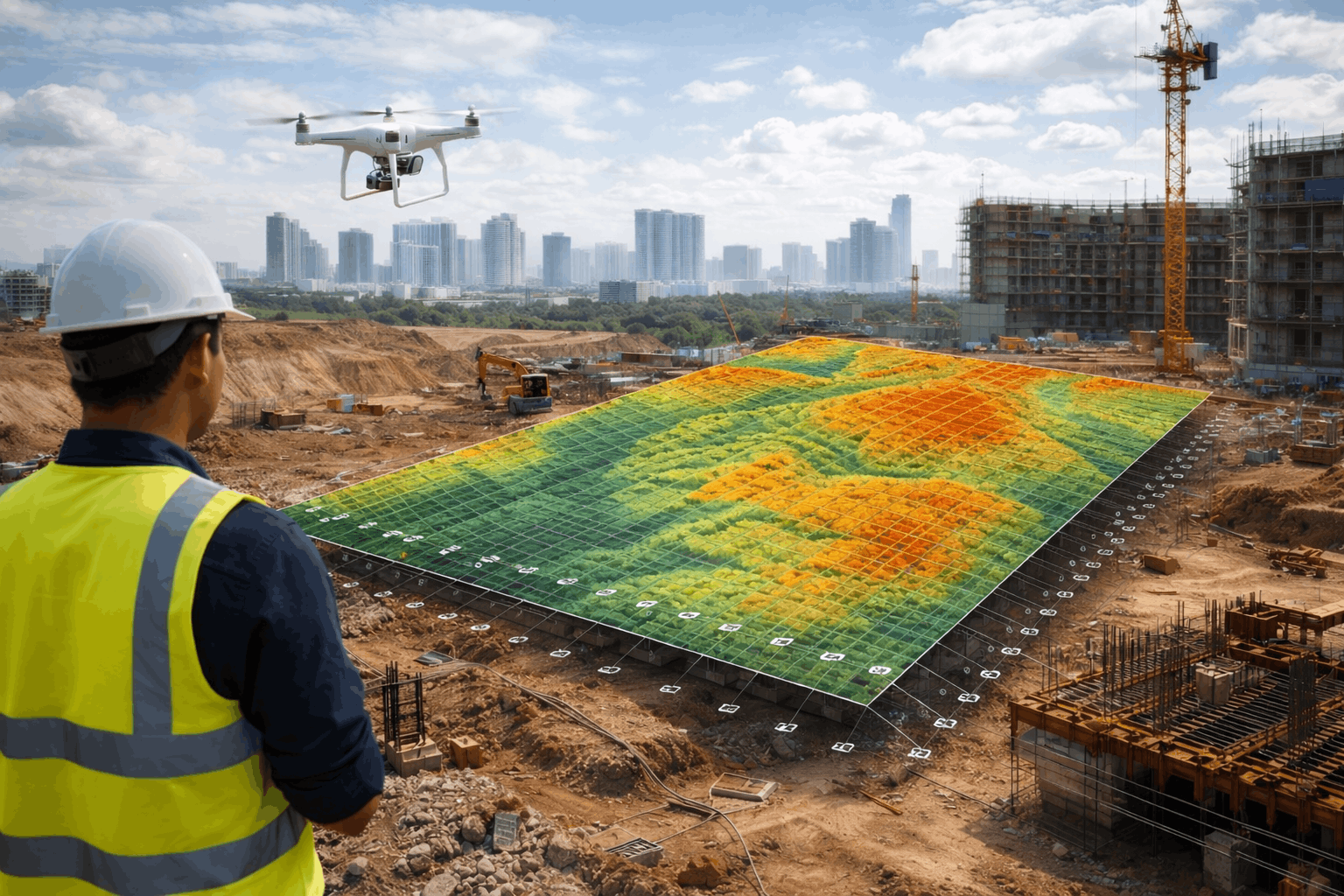
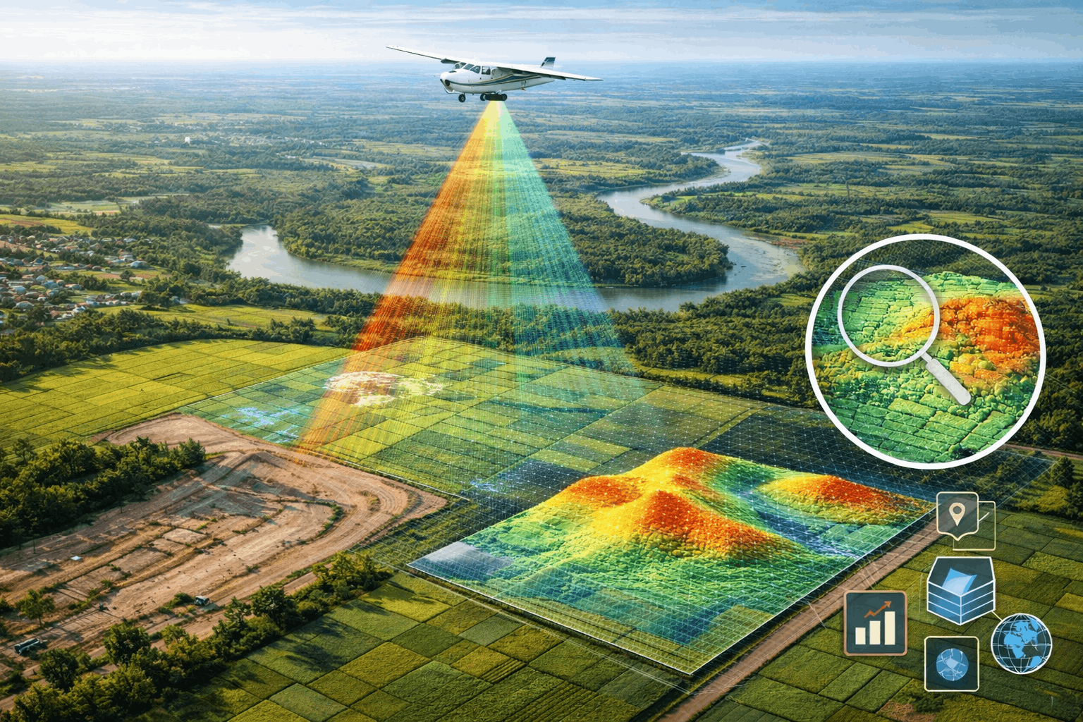
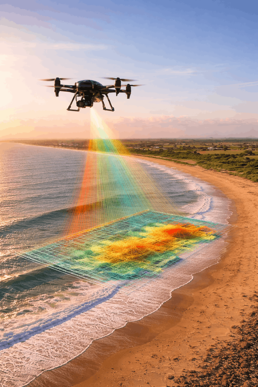
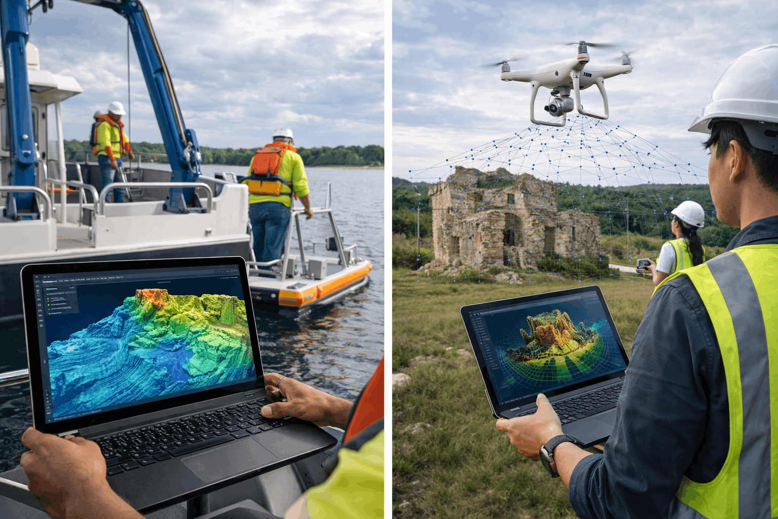
UAV Photogrammetry
UAV photogrammetry uses drones to capture aerial images and transform them into high-precision orthophotos, digital maps, and 3D terrain models.
Key Capabilities
High-resolution aerial data capture
Terrain and elevation modelling
Rapid mapping for large areas
Key Advantage
Efficient mapping solution that significantly reduces survey time.
Service 5
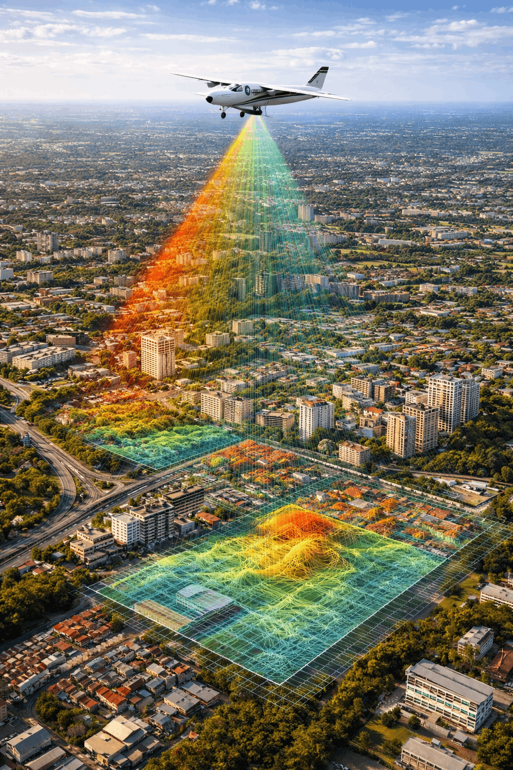
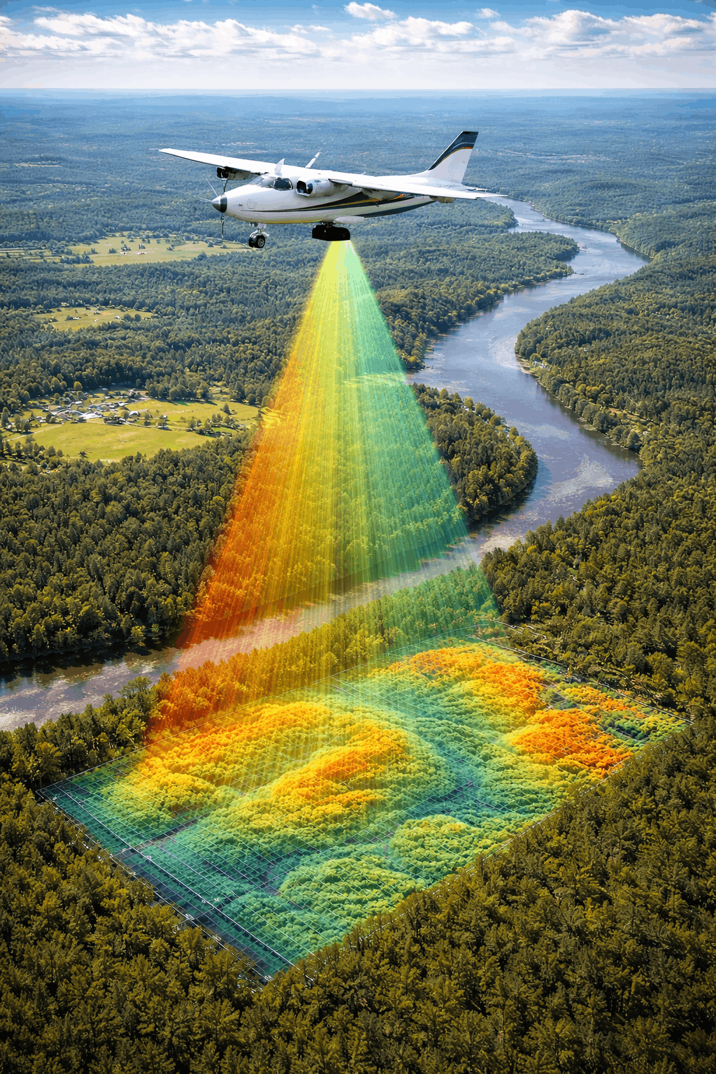
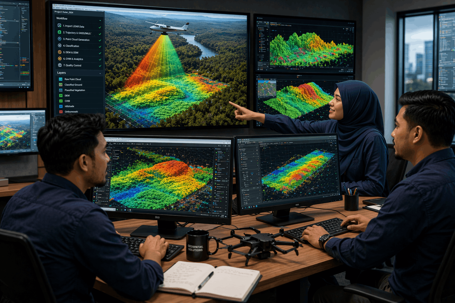
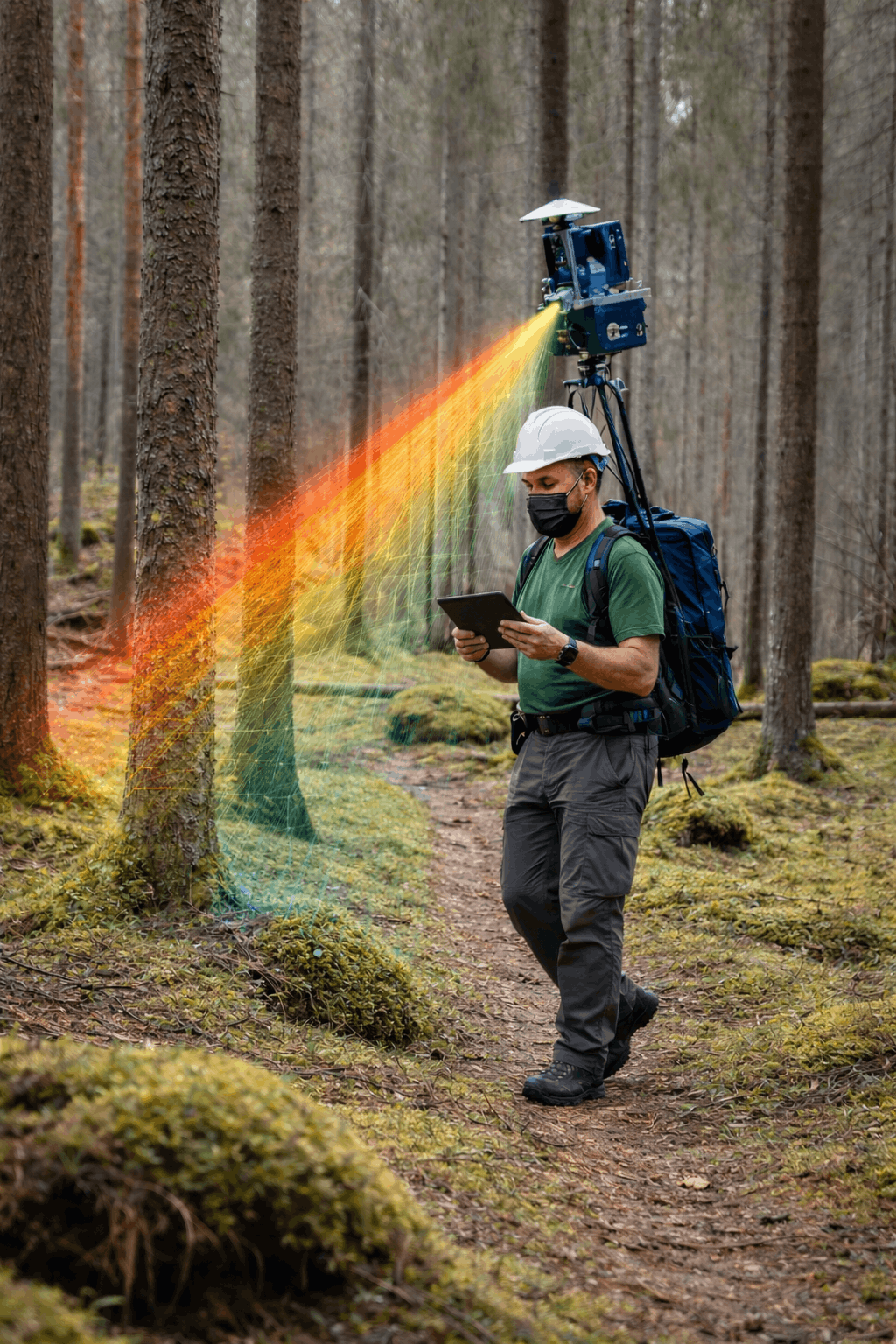
Airborne LiDAR
Airborne LiDAR technology collects highly accurate elevation and terrain data using laser sensors mounted on aircraft or UAV platforms.
Key Capabilities
High-density elevation data
Terrain and surface modelling
Suitable for complex landscapes
Technology Highlight
Advanced laser scanning capable of capturing terrain beneath vegetation.
Service 6
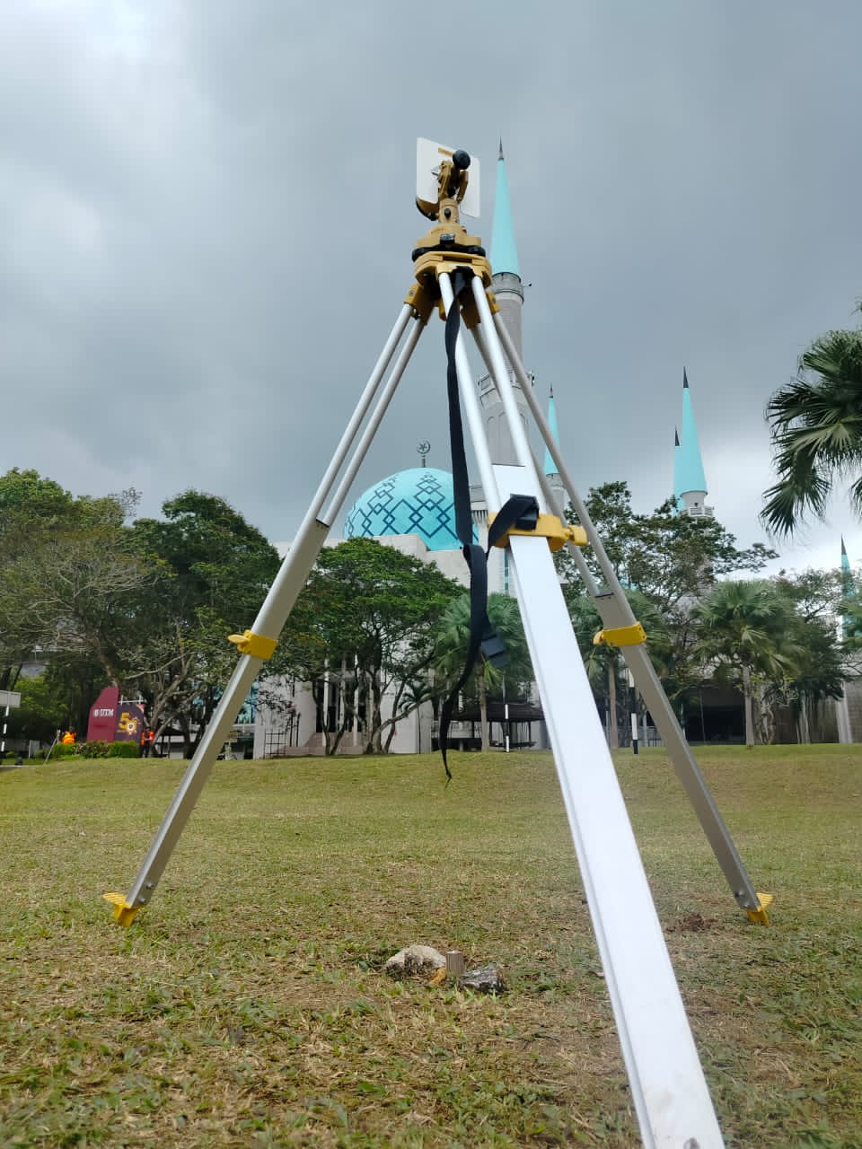
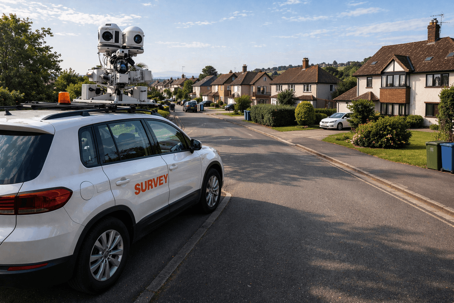
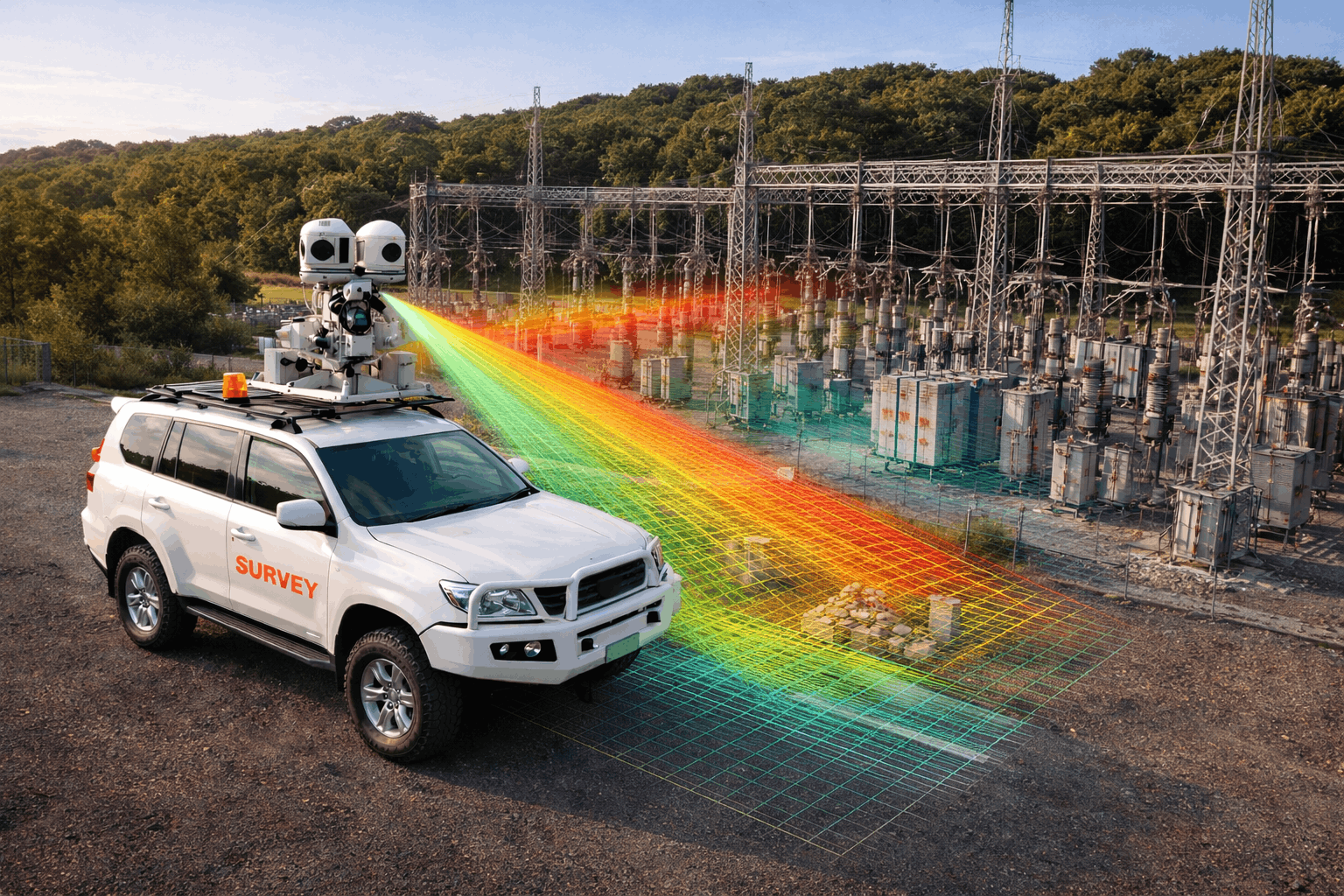
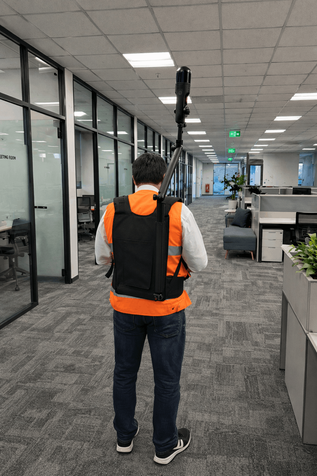
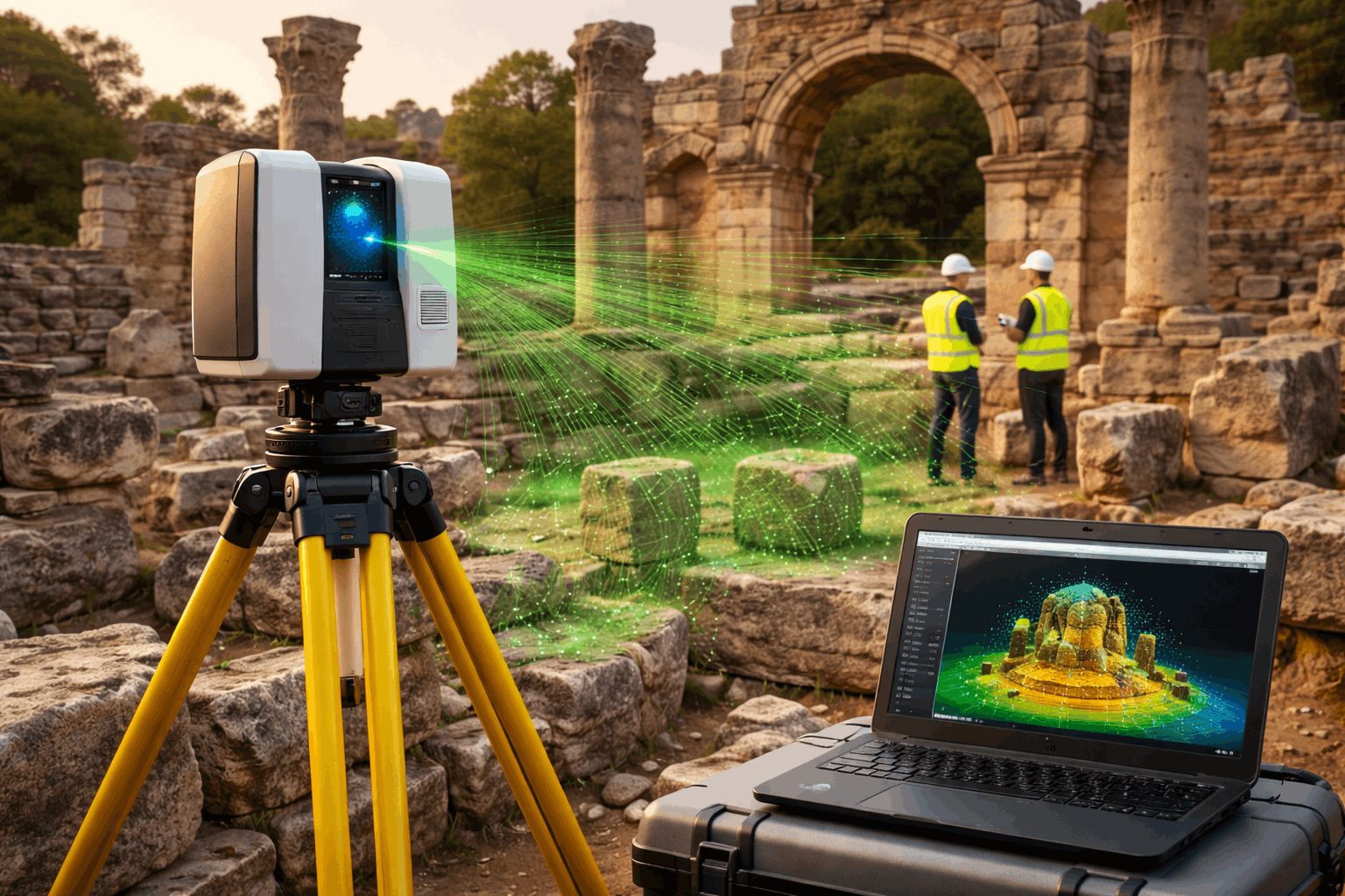
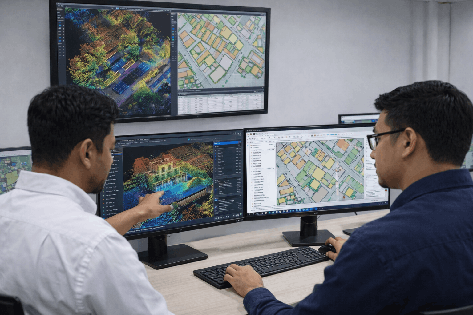
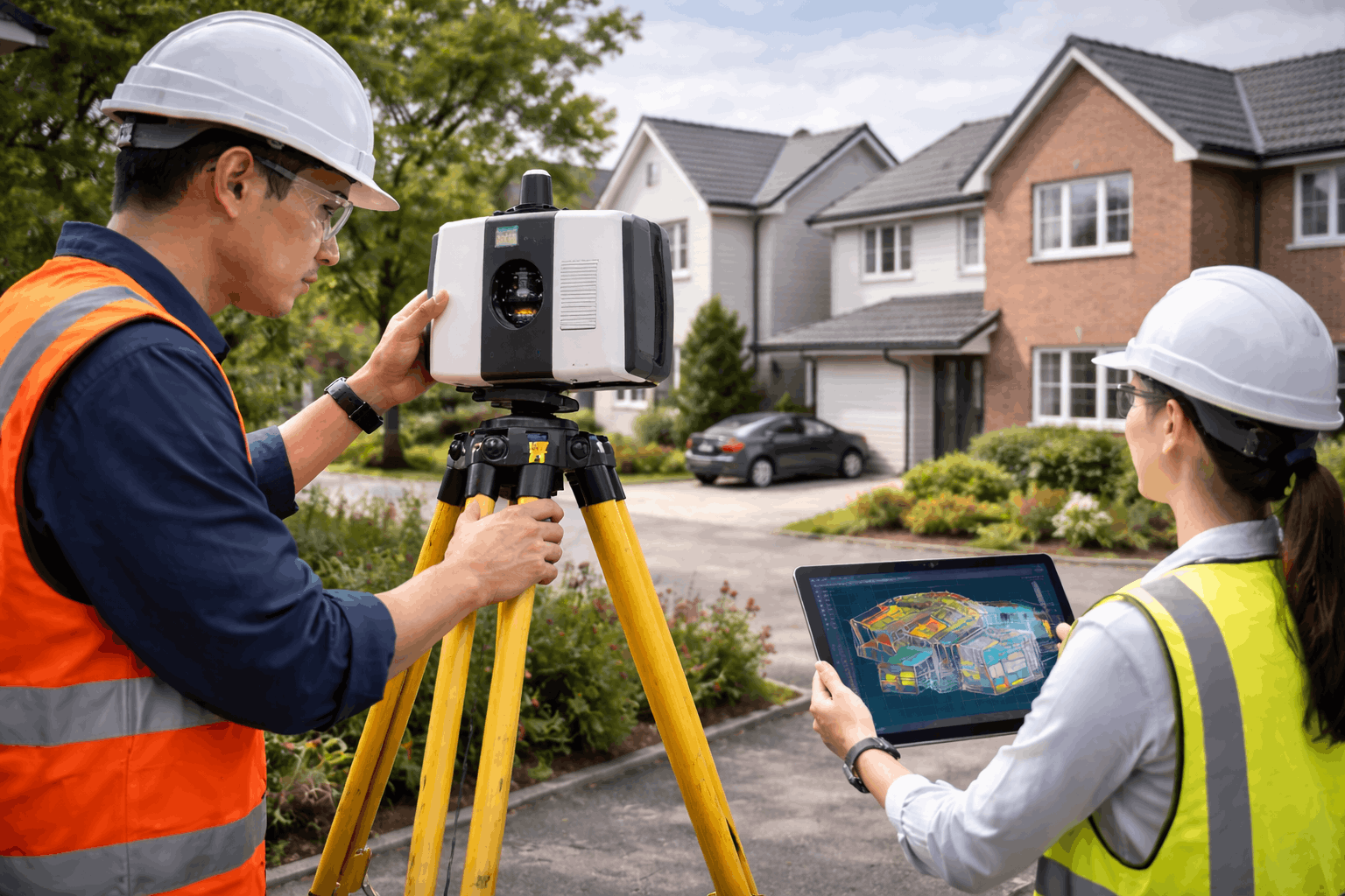
Mobile & Terrestrial Laser Scanning
Laser scanning systems capture millions of spatial data points to produce highly detailed and accurate 3D representations of buildings and environments.
Key Capabilities
High-precision spatial data capture
Rapid scanning of infrastructure
Detailed 3D digital reconstruction
Core Benefit
Fast and reliable data capture for complex infrastructure and urban environments.
Service 7
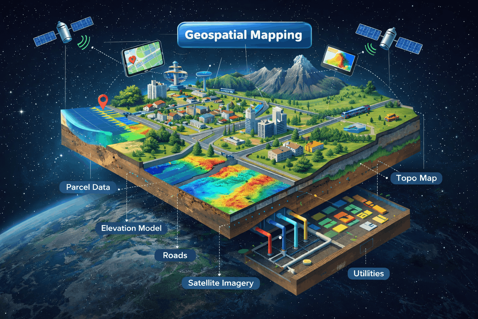
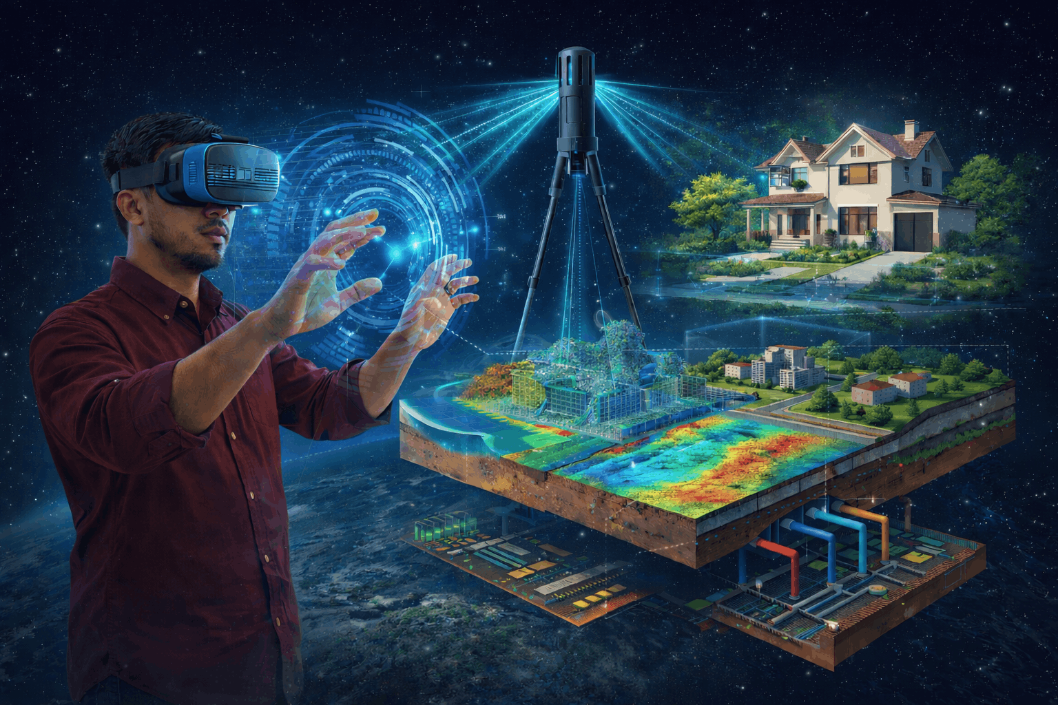
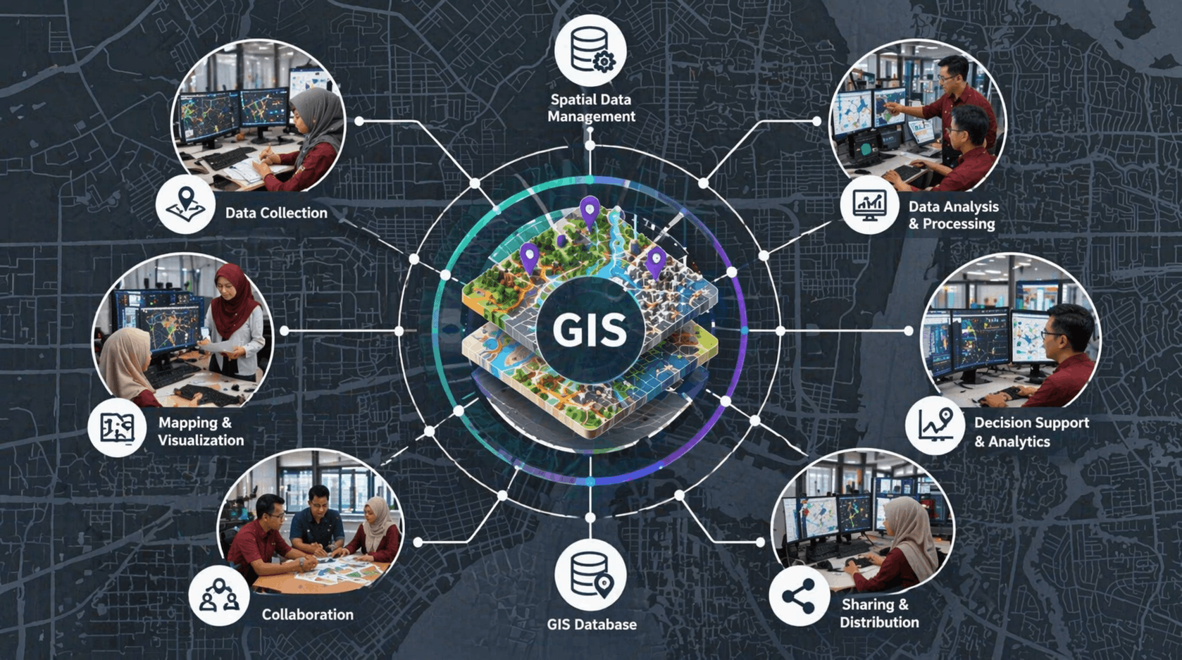
3D Geographical Information System (GIS)
3D GIS integrates spatial data into interactive platforms that enable users to visualise, analyse, and manage geospatial information effectively.
Key Capabilities
Interactive 3D spatial visualisation
Data integration and analysis
Decision-support for planning
What Makes It Valuable
Transforms complex spatial data into meaningful visual insights.
Service 8
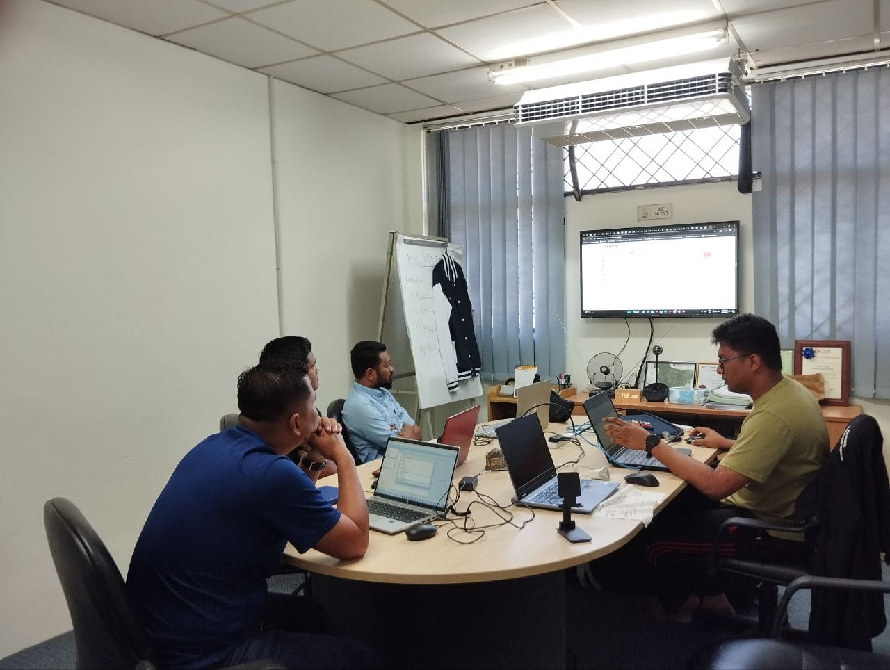
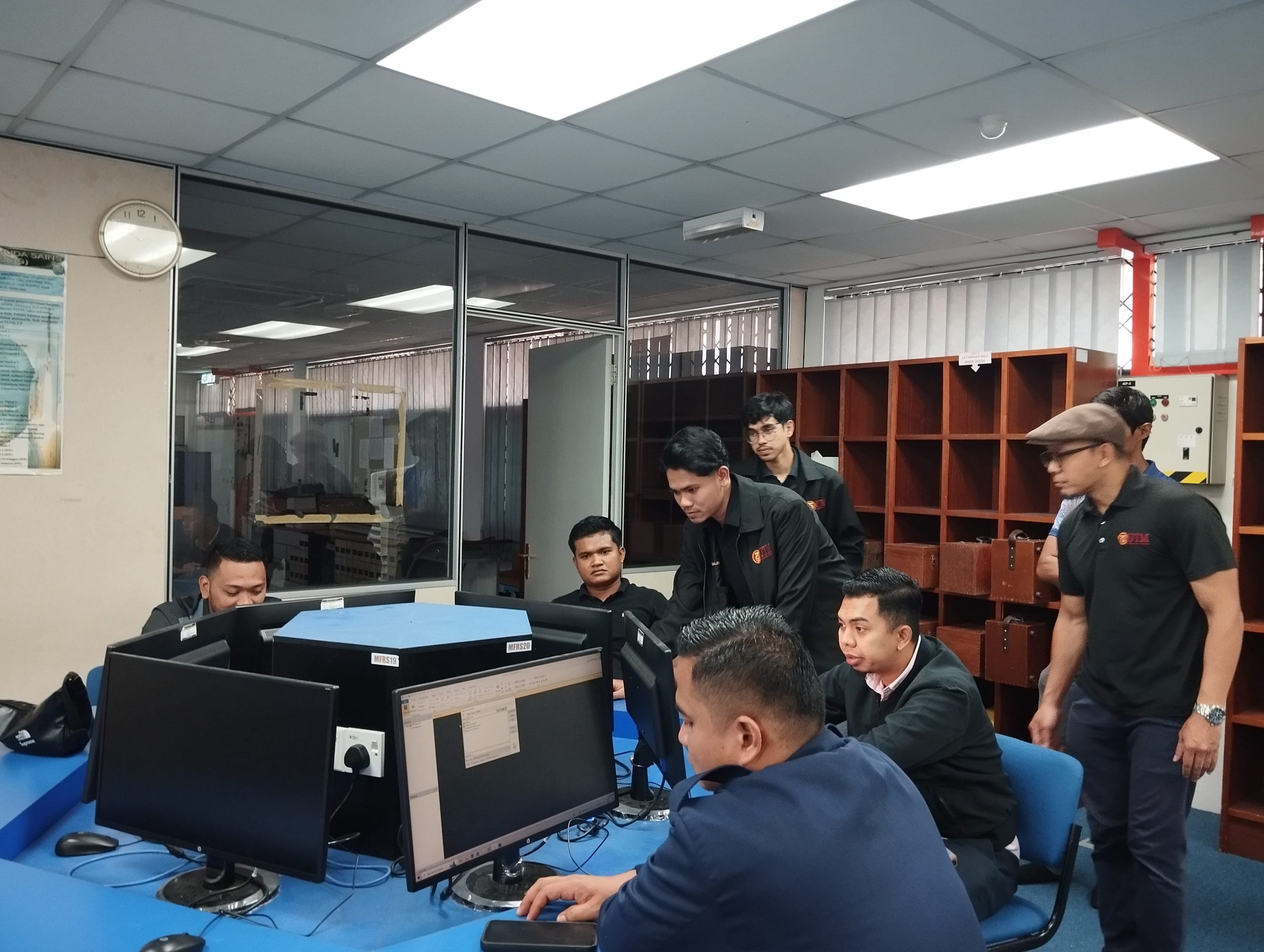
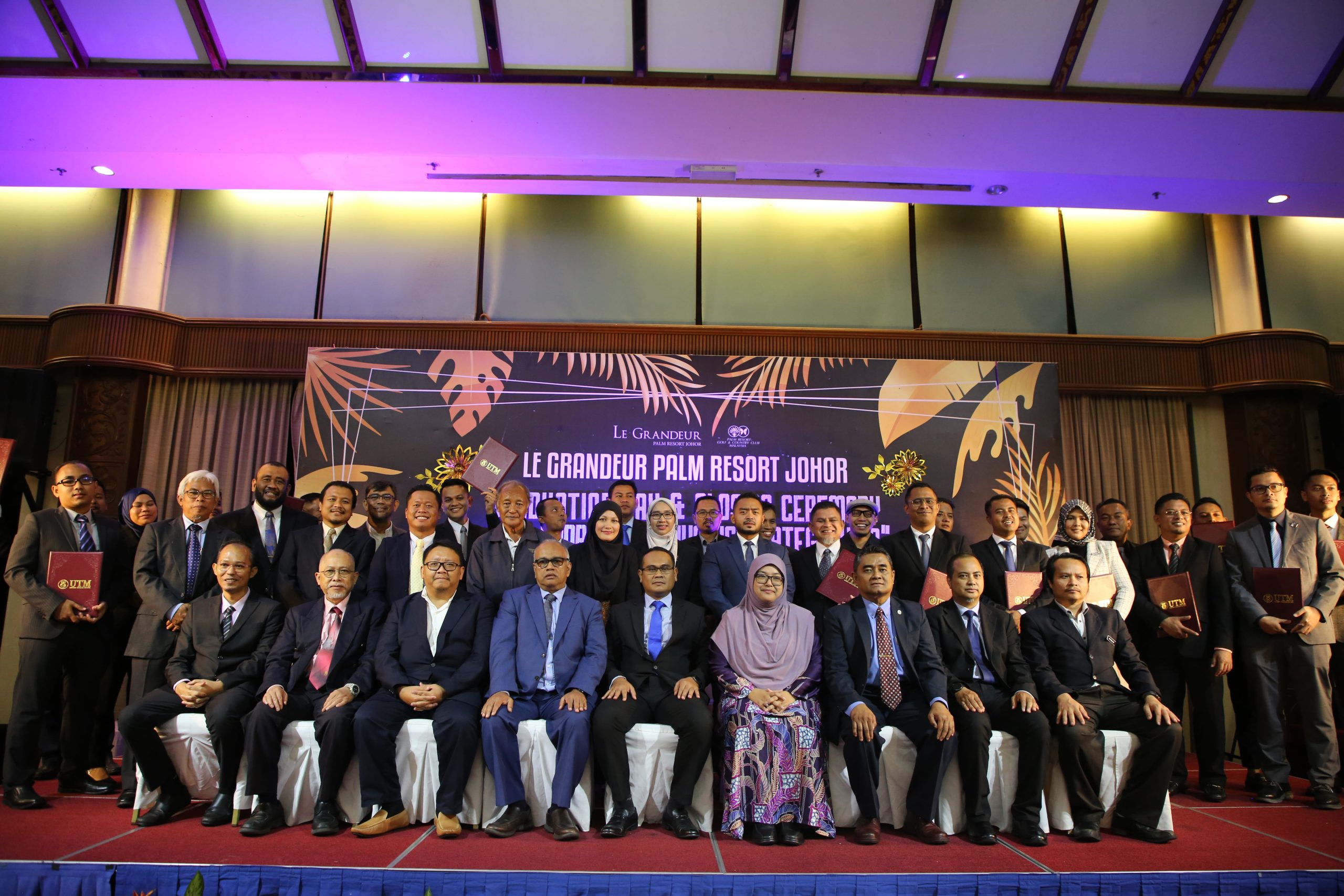
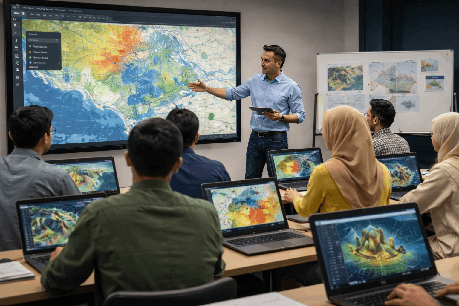
Geospatial Training & Short Courses
PLG offers professional training programmes and short courses designed to equip participants with practical knowledge in photogrammetry and geospatial technologies.
Key Capabilities
Hands-on technical training
Industry-relevant learning modules
Professional development courses
Learning Outcome
Participants gain practical skills aligned with real industry applications.