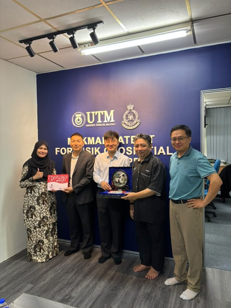
Call Now

+6012-560 7479

Email

plgofficial12@gmail.com

Address

Level 2, Block C05, Faculty of Built Environment & Surveying, Universiti Teknologi Malaysia, 81310 Johor Bahru, Johor

Blog PLG

Photo Laser Grammetry Sdn. Bhd. (PLG) is strengthening its business collaboration with Beijing Hydro-Tech Marine Technology Co., Ltd. to advance...

Kuala Lumpur, 11 May 2026 – Universiti Teknologi Malaysia (UTM) is hosting the 49th Annual Meeting of the International Board...

Geospatial technology plays a crucial role in modern mapping, surveying, and spatial analysis. It refers to technologies used to collect,...

The geospatial industry continues to evolve rapidly with the introduction of advanced technologies such as UAV mapping, LiDAR scanning, and...

Geographical Information Systems (GIS) are powerful tools used to manage, analyse, and visualise spatial data. GIS platforms integrate geographic information...

LiDAR, which stands for Light Detection and Ranging, is a remote sensing technology used to measure distances using laser pulses....

Unmanned Aerial Vehicles (UAV), commonly known as drones, have transformed the way geospatial data is collected in modern surveying and...