+6012-560 7479
plgofficial12@gmail.com
Level 2, Block C05, Faculty of Built Environment & Surveying, Universiti Teknologi Malaysia, 81310 Johor Bahru, Johor
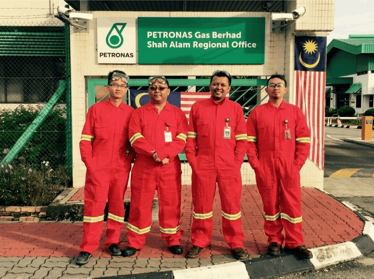
UTM Geospatial Imaging & Information and the PLG Fieldwork Team carried out a terrestrial laser scanning survey at Petronas Gas Berhad facilities located in GPP A Kerteh, Terengganu and the Shah Alam Regional Operation Centre in Selangor.
The project focused on capturing high-density spatial data of oil and gas metering stations using advanced terrestrial laser scanning technology. The collected data was processed to generate accurate 3D models of the facilities and surrounding infrastructure.
These detailed digital models provide valuable spatial information that can be used for asset management, engineering analysis, and infrastructure monitoring within the oil and gas industry.