+6012-560 7479
plgofficial12@gmail.com
Level 2, Block C05, Faculty of Built Environment & Surveying, Universiti Teknologi Malaysia, 81310 Johor Bahru, Johor
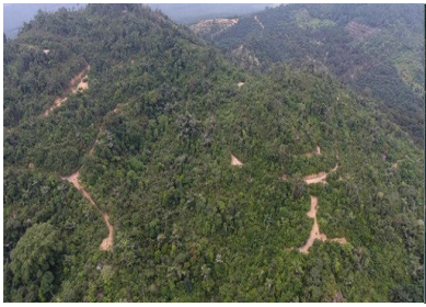
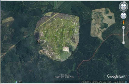
Photo Laser Grammetry Sdn Bhd was appointed by Infra Desa to conduct a UAV-based mapping project for quarry volume estimation in Jorak Pagoh, Johor.
Using the UAV Phantom 4 platform, aerial imagery of the quarry site was captured and processed to produce accurate terrain models and volumetric measurements.
The project demonstrated the capability of UAV photogrammetry in providing fast, cost-effective, and reliable solutions for monitoring quarry operations and estimating resource volumes.