+6012-560 7479
plgofficial12@gmail.com
Level 2, Block C05, Faculty of Built Environment & Surveying, Universiti Teknologi Malaysia, 81310 Johor Bahru, Johor
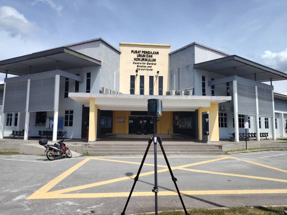
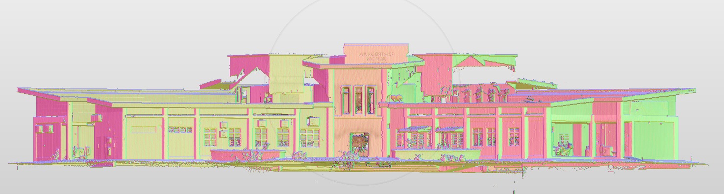
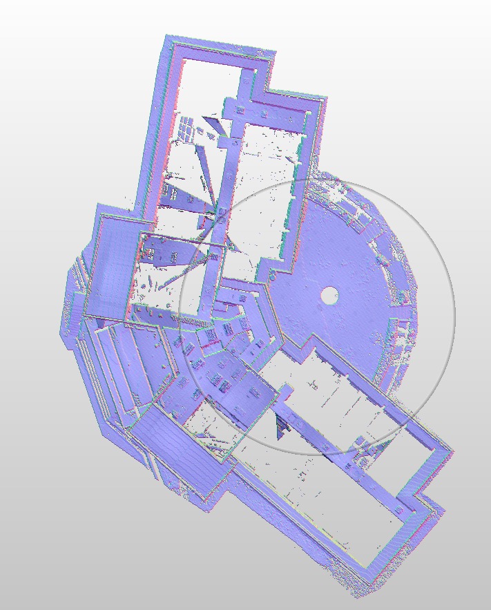
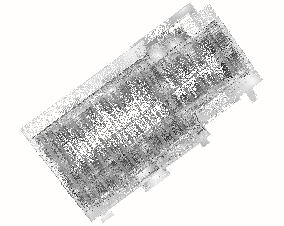
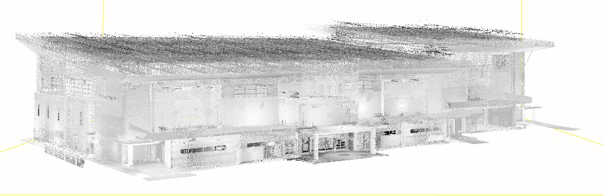
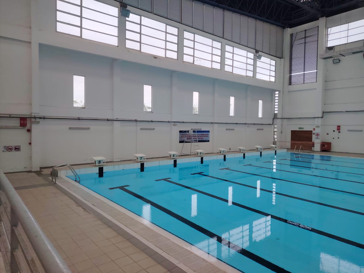
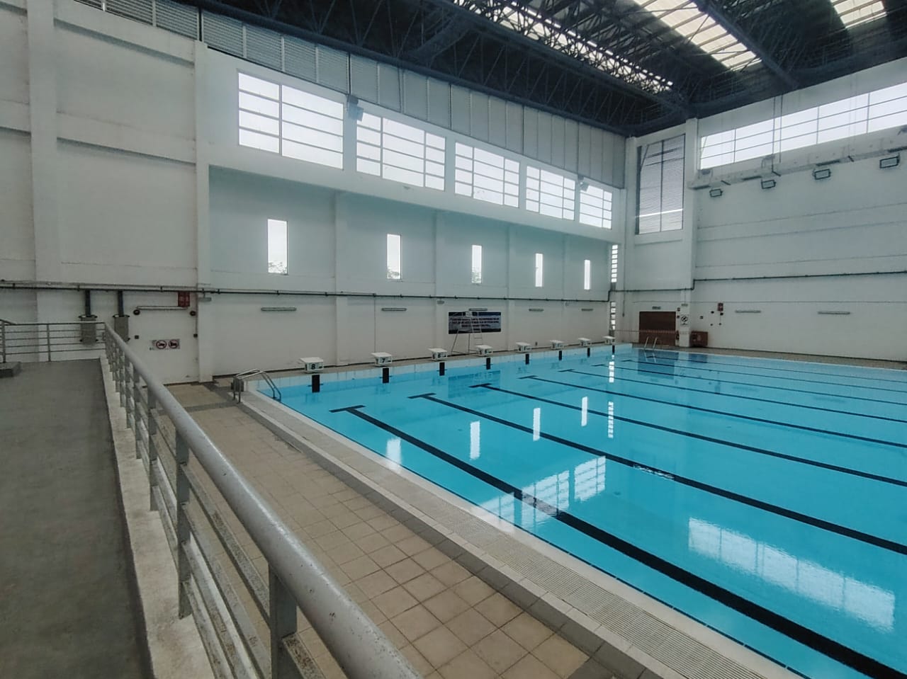
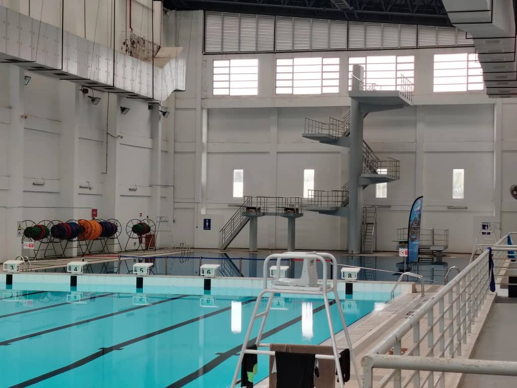
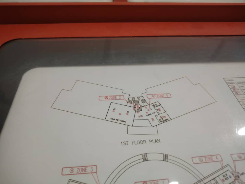
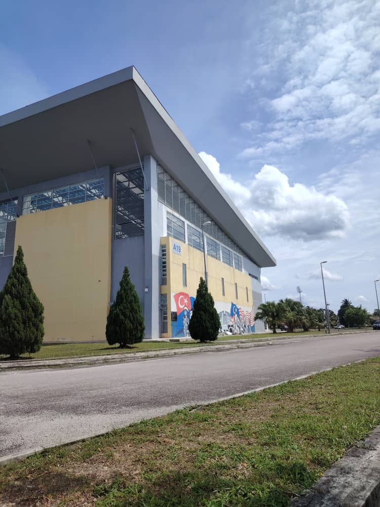
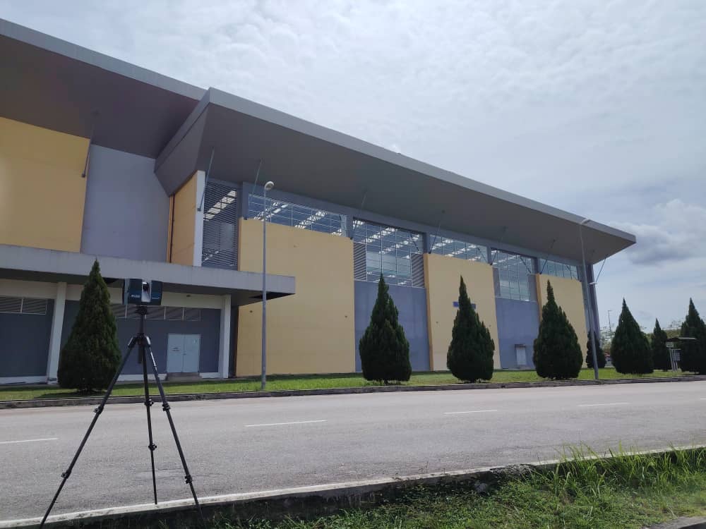
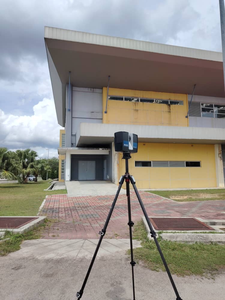
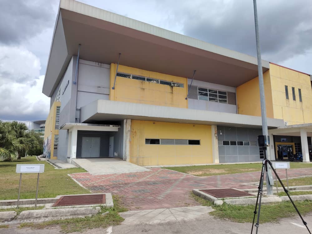
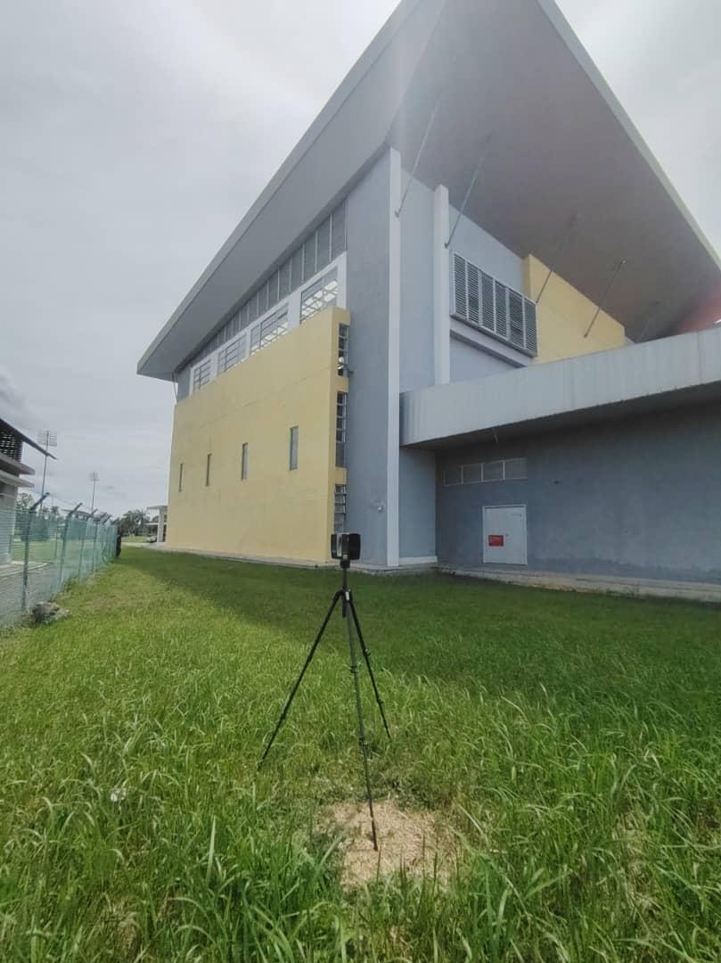
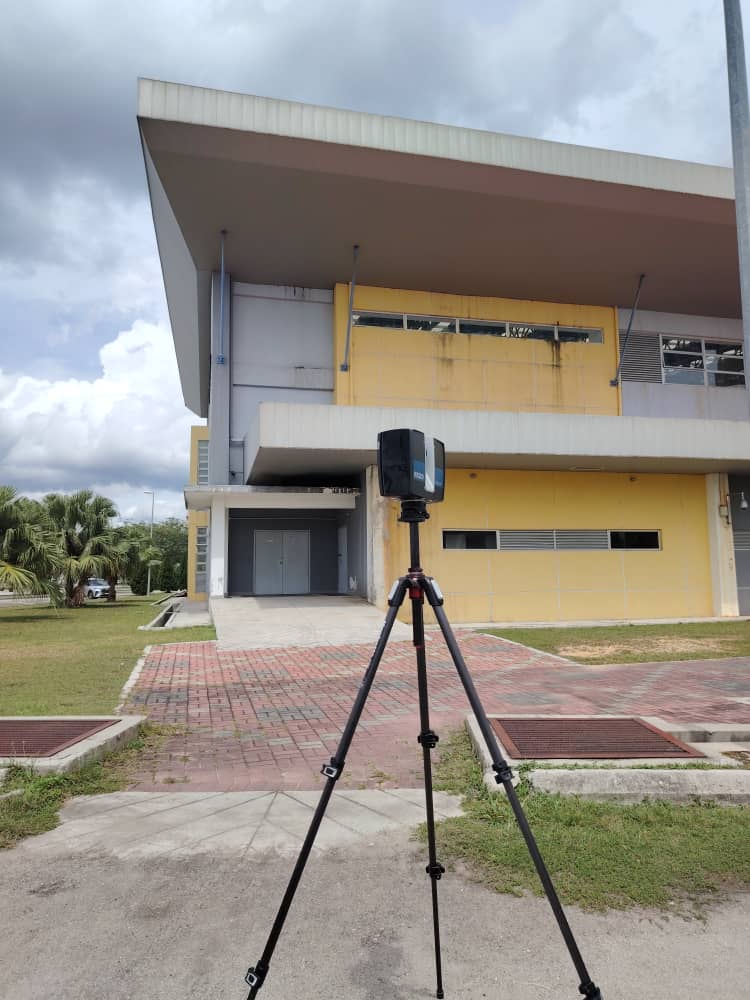
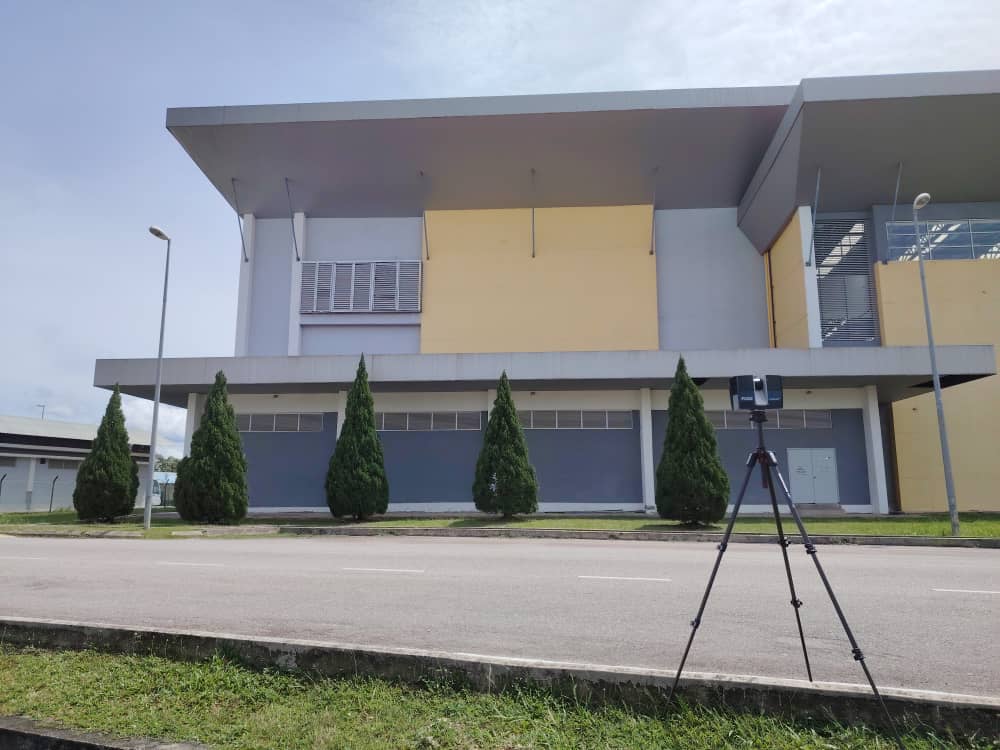
This project involved boundary survey, preparation of a boundary plan, and 3D laser scanning works for two building blocks, A10 and A19, at the Co-Curriculum Centre, Universiti Tun Hussein Onn Malaysia (UTHM), Parit Raja, Johor. The work began with site preparation, followed by the boundary survey, 3D laser scanning process, and data processing. The collected scan data was then used for Scan-to-BIM, where the point cloud data was converted into an accurate Building Information Modelling (BIM) model representing the existing site and building conditions. The BIM model contained digital building information to support documentation, coordination, and future reference. The project also included the preparation of a boundary plan to show the verified site boundary. The final output included 2D as-built drawings in .dwg and .pdf formats, covering the building floor plans together with the relevant boundary survey information.