+6012-560 7479
plgofficial12@gmail.com
Level 2, Block C05, Faculty of Built Environment & Surveying, Universiti Teknologi Malaysia, 81310 Johor Bahru, Johor
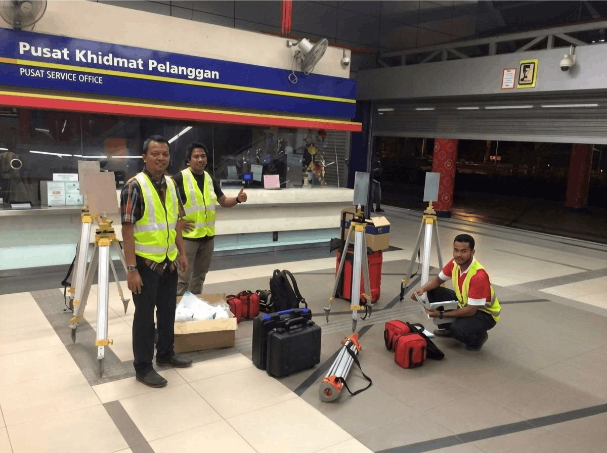
UTM Geospatial Imaging & Information together with the PLG Fieldwork Team conducted a terrestrial laser scanning project for the 3D mapping of selected LRT railway stations in Kuala Lumpur.
The objective of the project was to capture high-precision spatial data of railway infrastructure using advanced laser scanning technology. The collected data was processed to generate detailed 3D models and digital representations of the railway tracks and surrounding station structures.
This project demonstrates the use of terrestrial laser scanning for infrastructure mapping, providing accurate spatial information that can support engineering analysis, maintenance planning, and infrastructure documentation.