+6012-560 7479
plgofficial12@gmail.com
Level 2, Block C05, Faculty of Built Environment & Surveying, Universiti Teknologi Malaysia, 81310 Johor Bahru, Johor
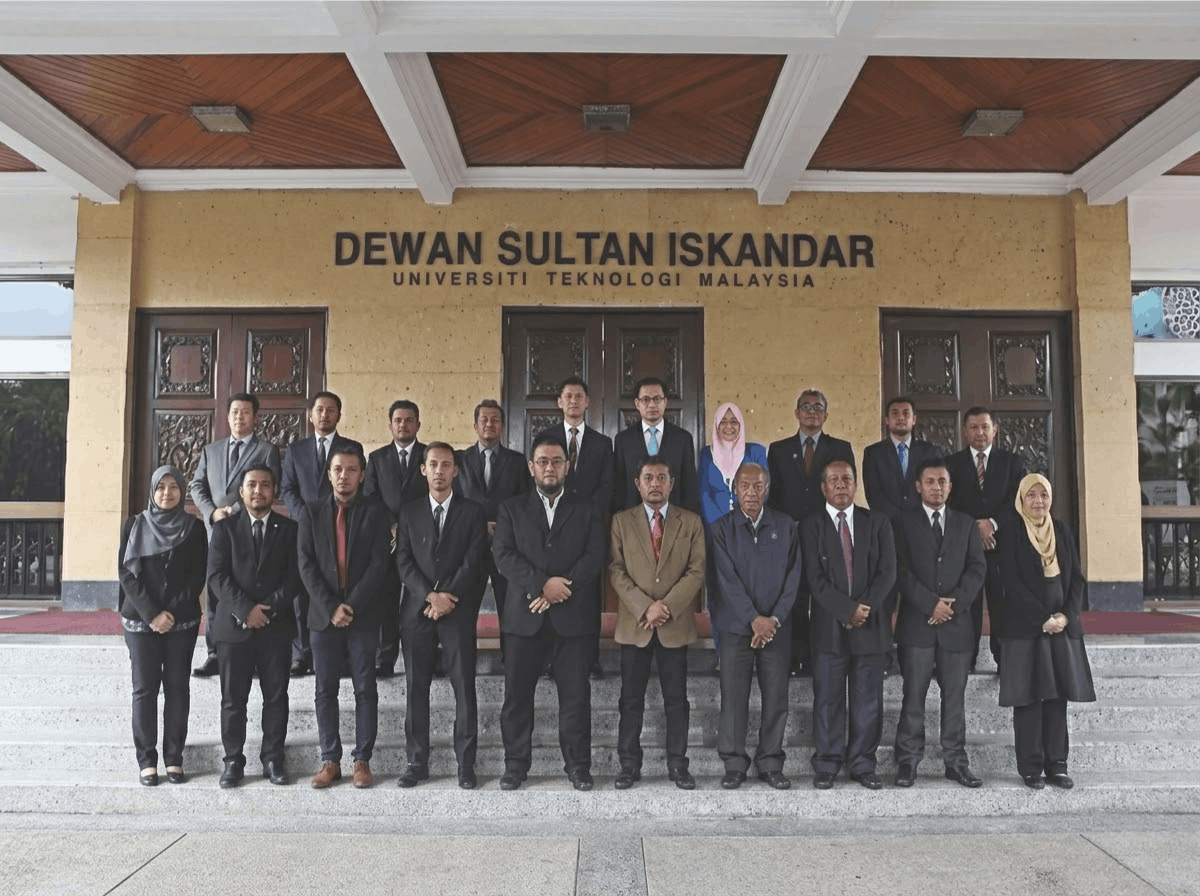
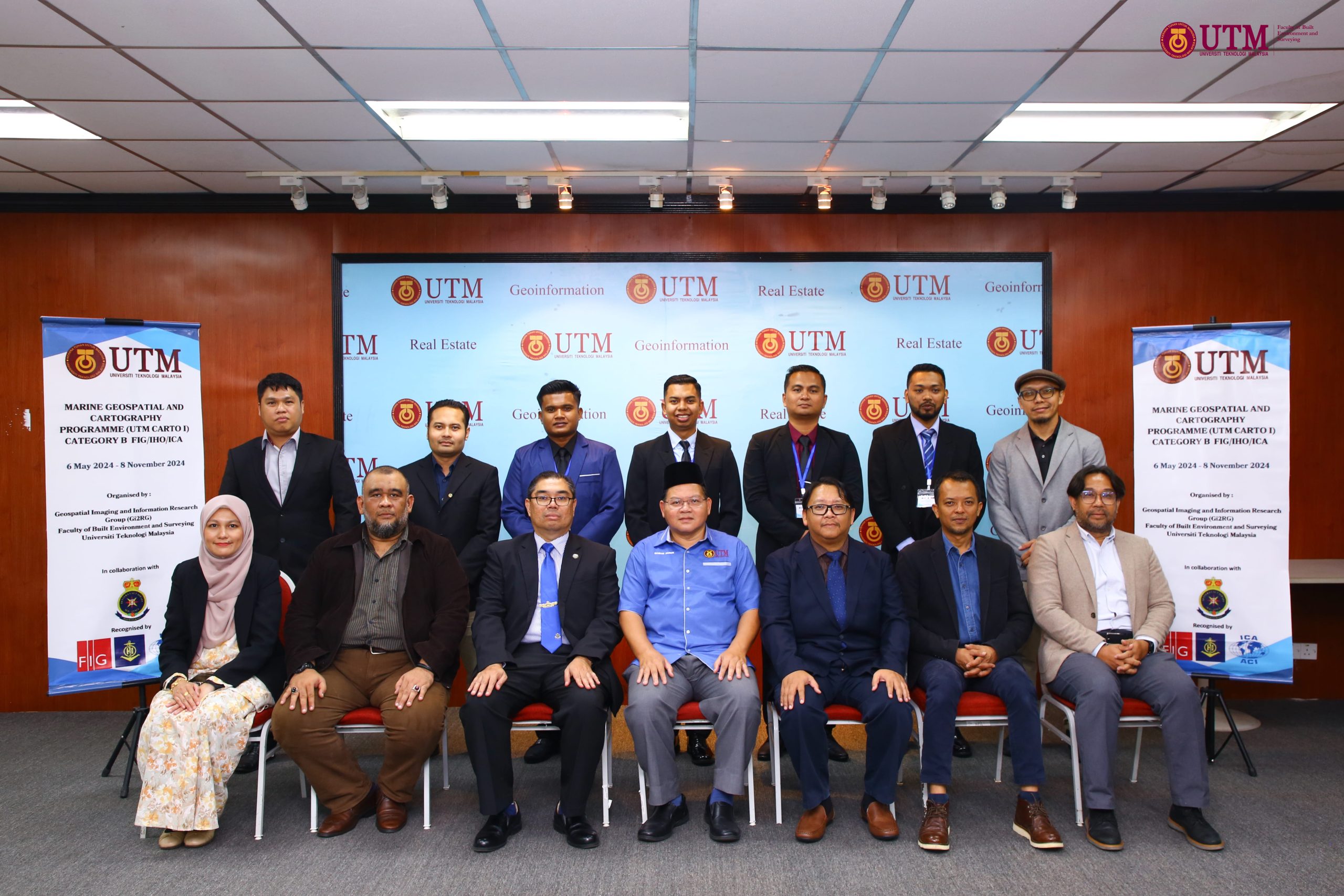
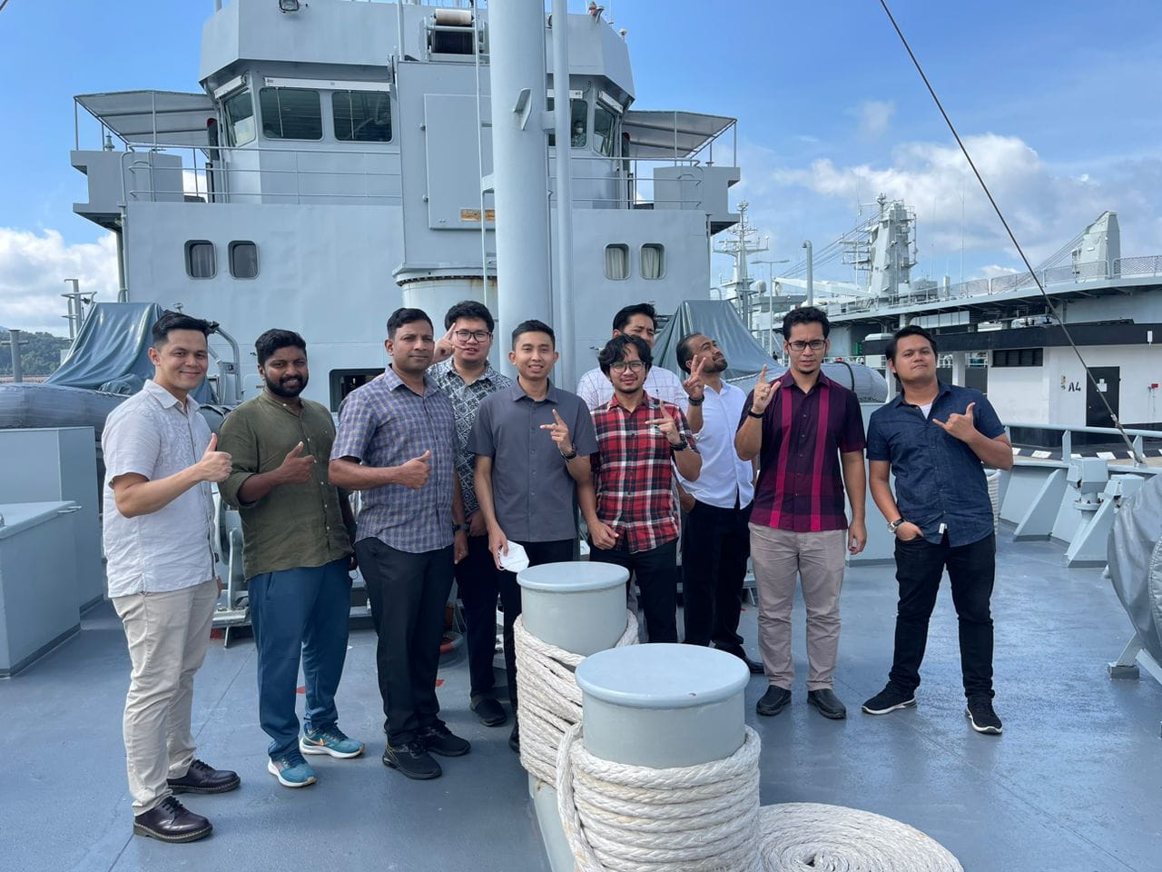
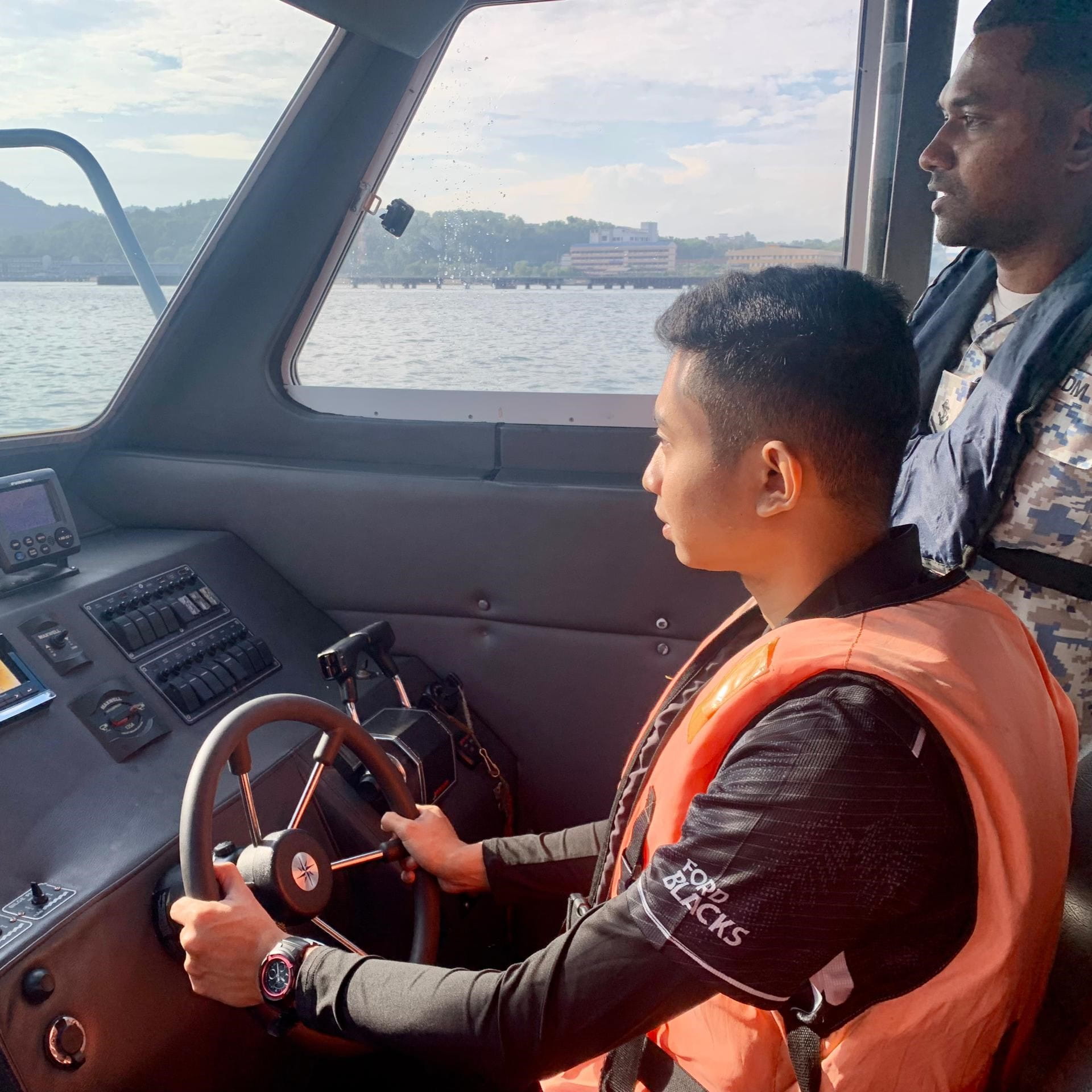
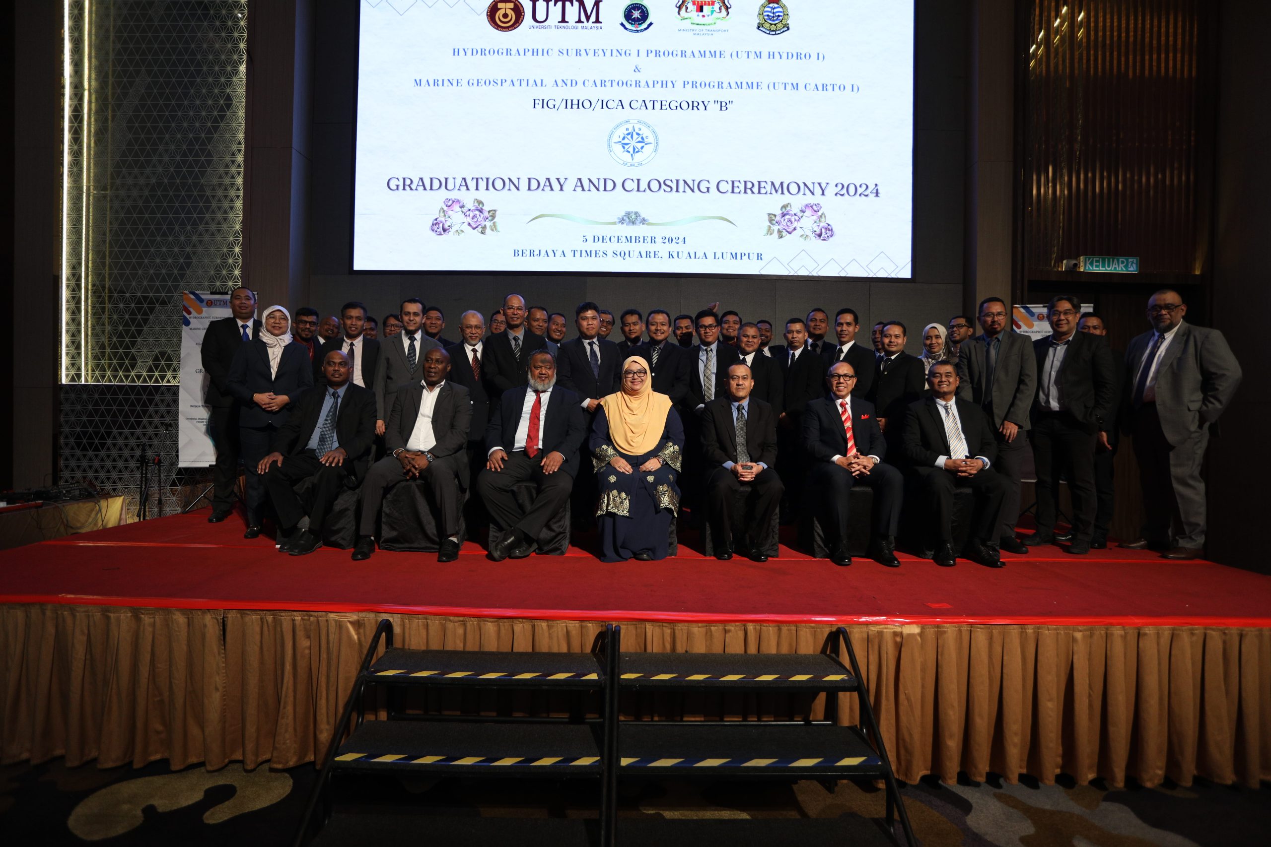
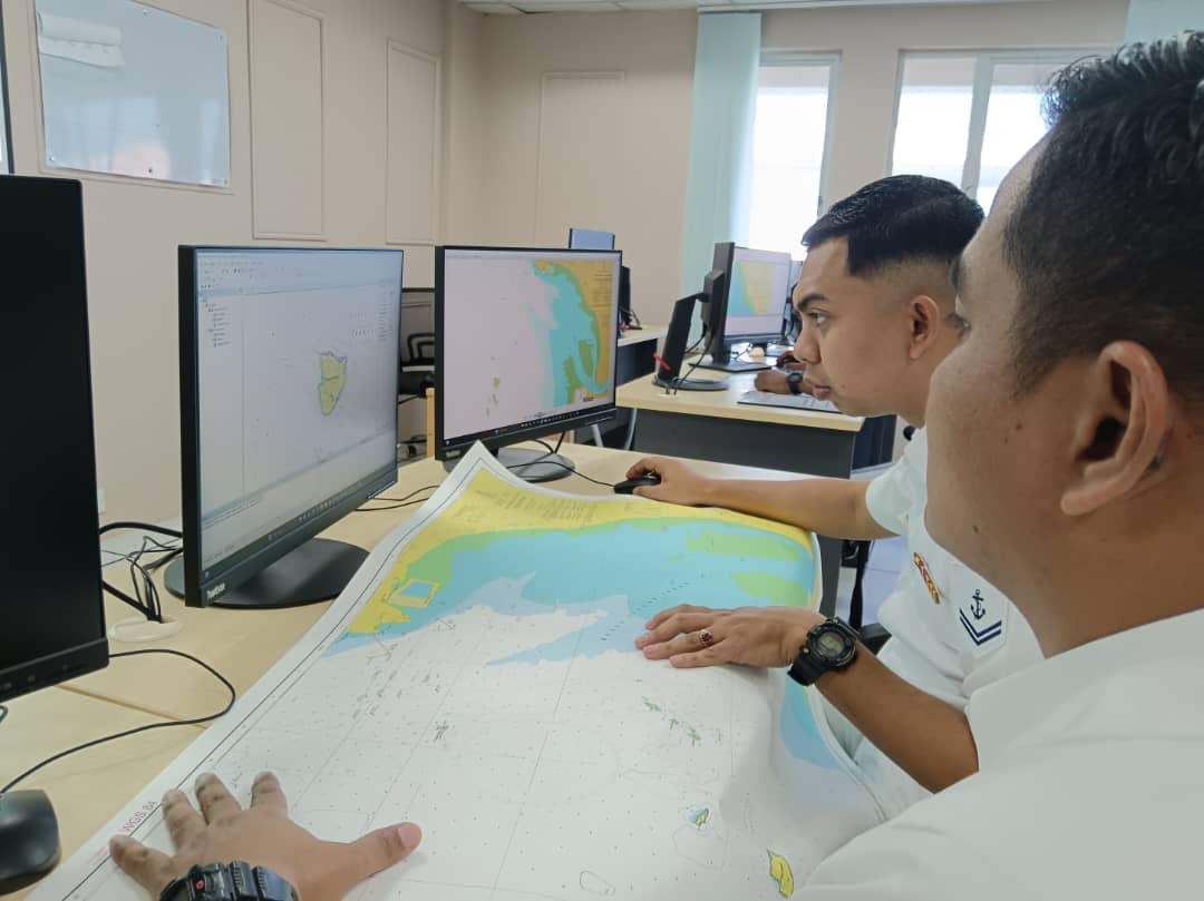
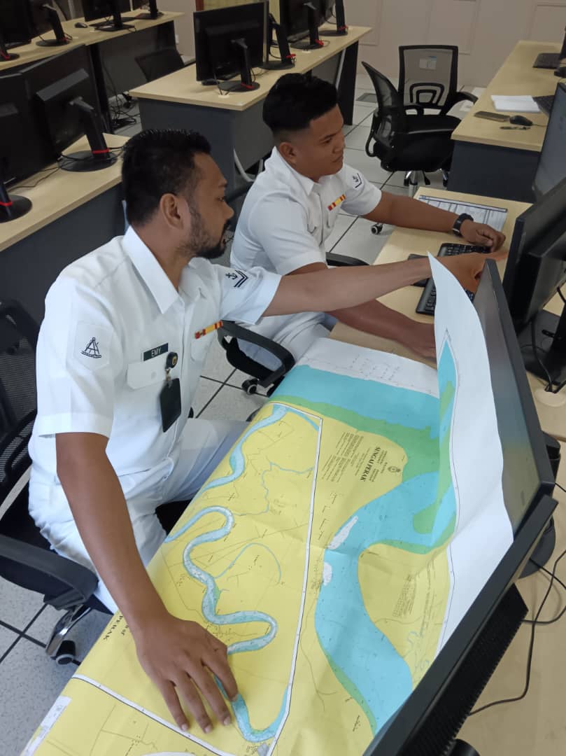
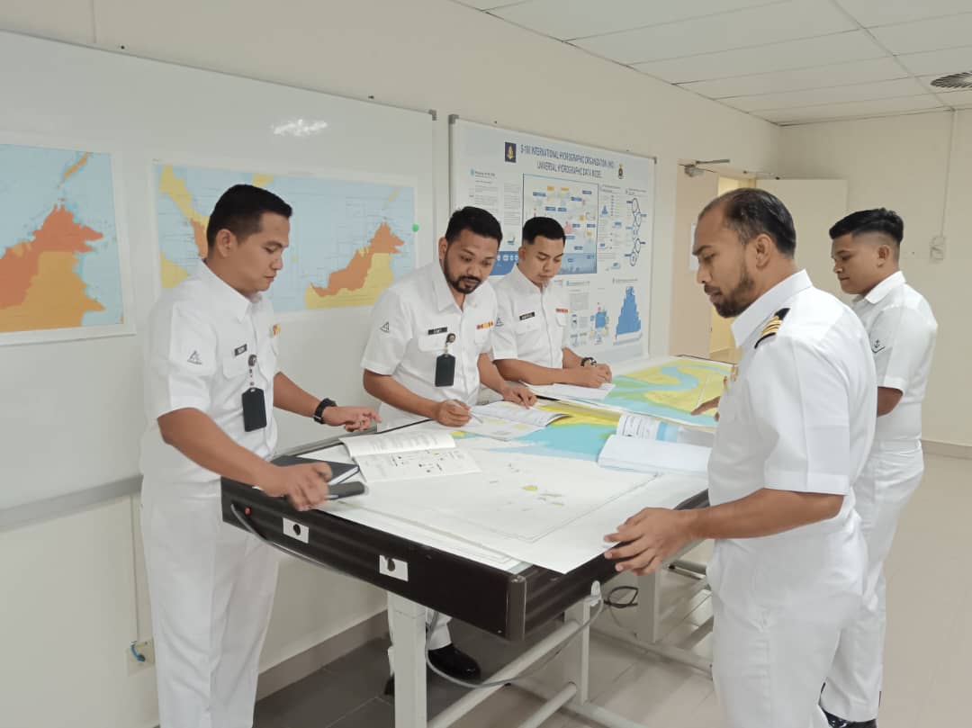
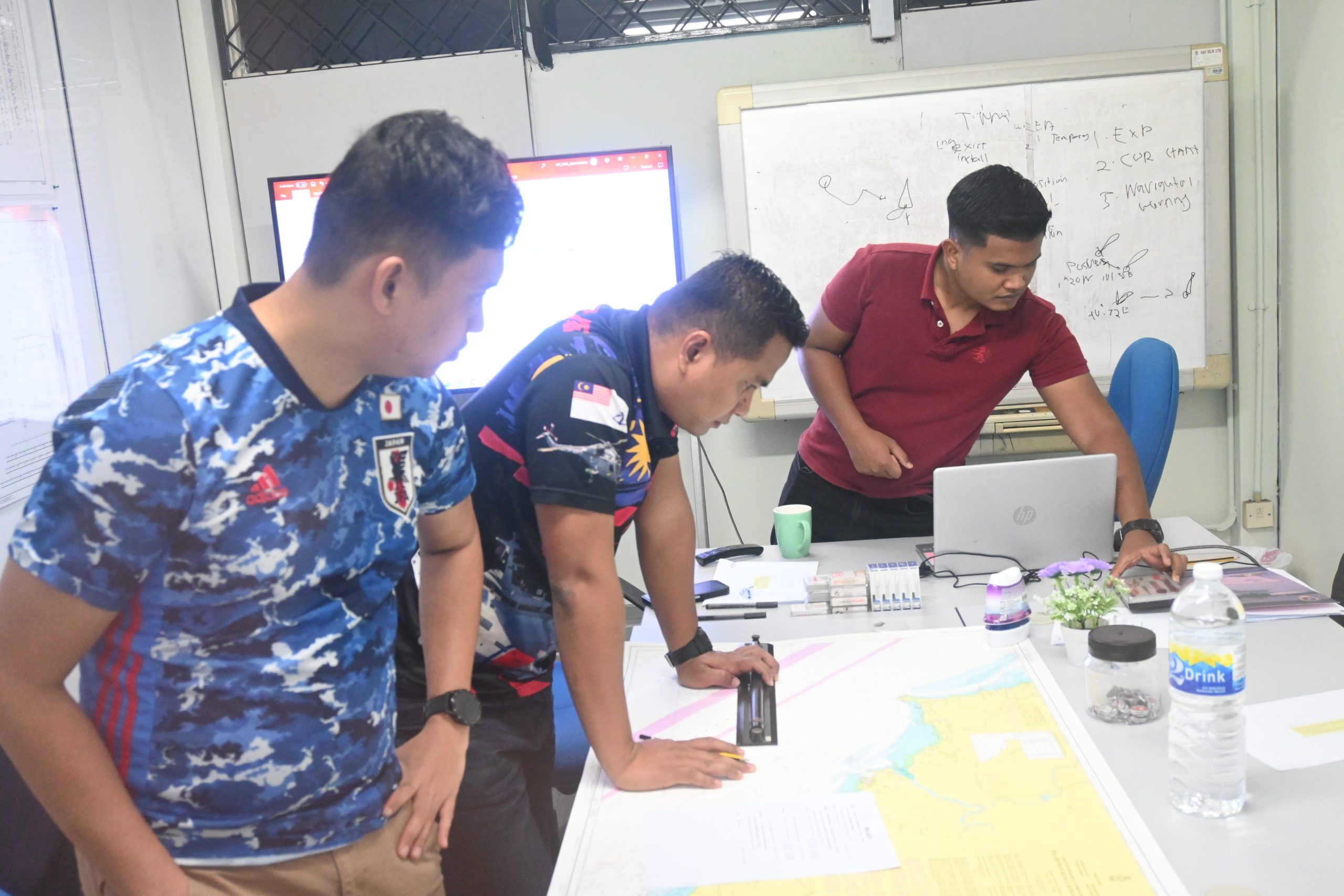
The FIG/IHO/ICA International Professional Programme was organised by the Faculty of Built Environment and Surveying (FBES), Universiti Teknologi Malaysia in collaboration with the National Hydrographic Centre and Photo Laser Grammetry Sdn Bhd.
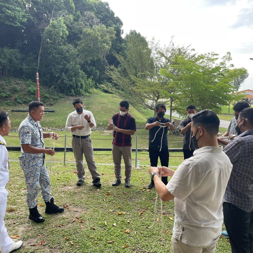
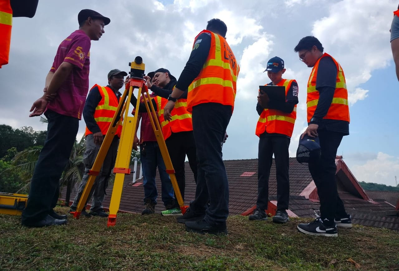
The programme includes several professional training modules such as:
The initiative aims to train professionals in the fields of hydrography, marine geospatial mapping, and cartography by equipping them with the technical knowledge and practical skills required to support marine surveying and spatial data management.