+6012-560 7479
plgofficial12@gmail.com
Level 2, Block C05, Faculty of Built Environment & Surveying, Universiti Teknologi Malaysia, 81310 Johor Bahru, Johor
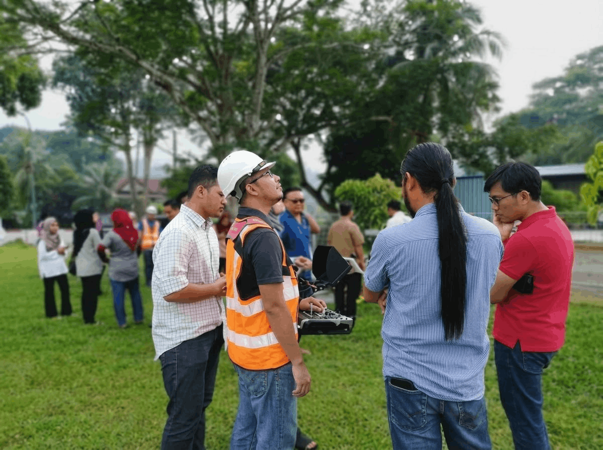
Photo Laser Grammetry Sdn Bhd (PLG) was appointed by the Geospatial Science and Technology College (GSTC) Kuala Lumpur to conduct a three-day professional course on UAV data processing, digital mapping, and LiDAR technology.
The training programme was attended by licensed surveyors from PEJUTA as well as staff members from GSTC. The course covered fundamental concepts and practical workflows involved in UAV-based mapping and LiDAR data processing.
Participants were introduced to modern geospatial techniques including aerial data acquisition, digital mapping processes, and LiDAR-based spatial data analysis. The programme also included demonstrations and hands-on sessions to provide participants with practical exposure to current geospatial technologies.